


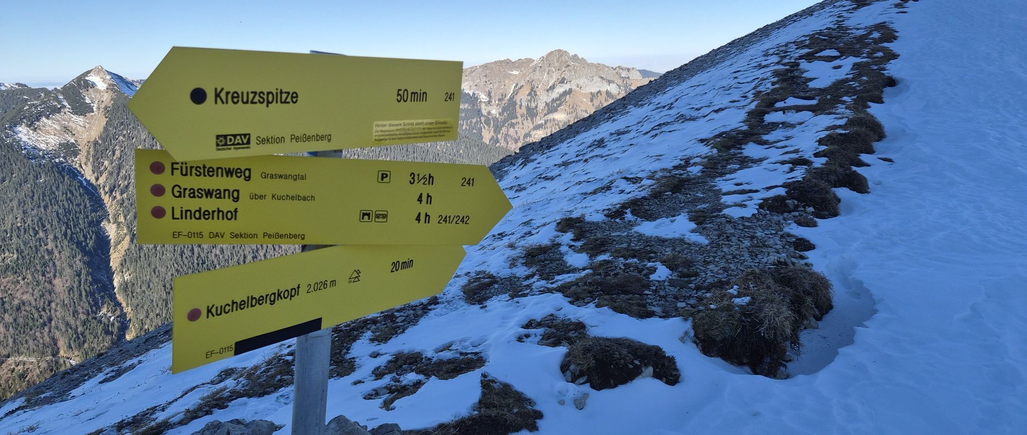
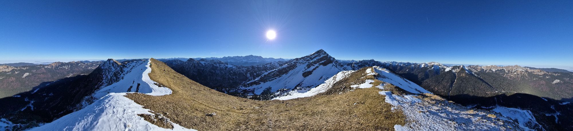
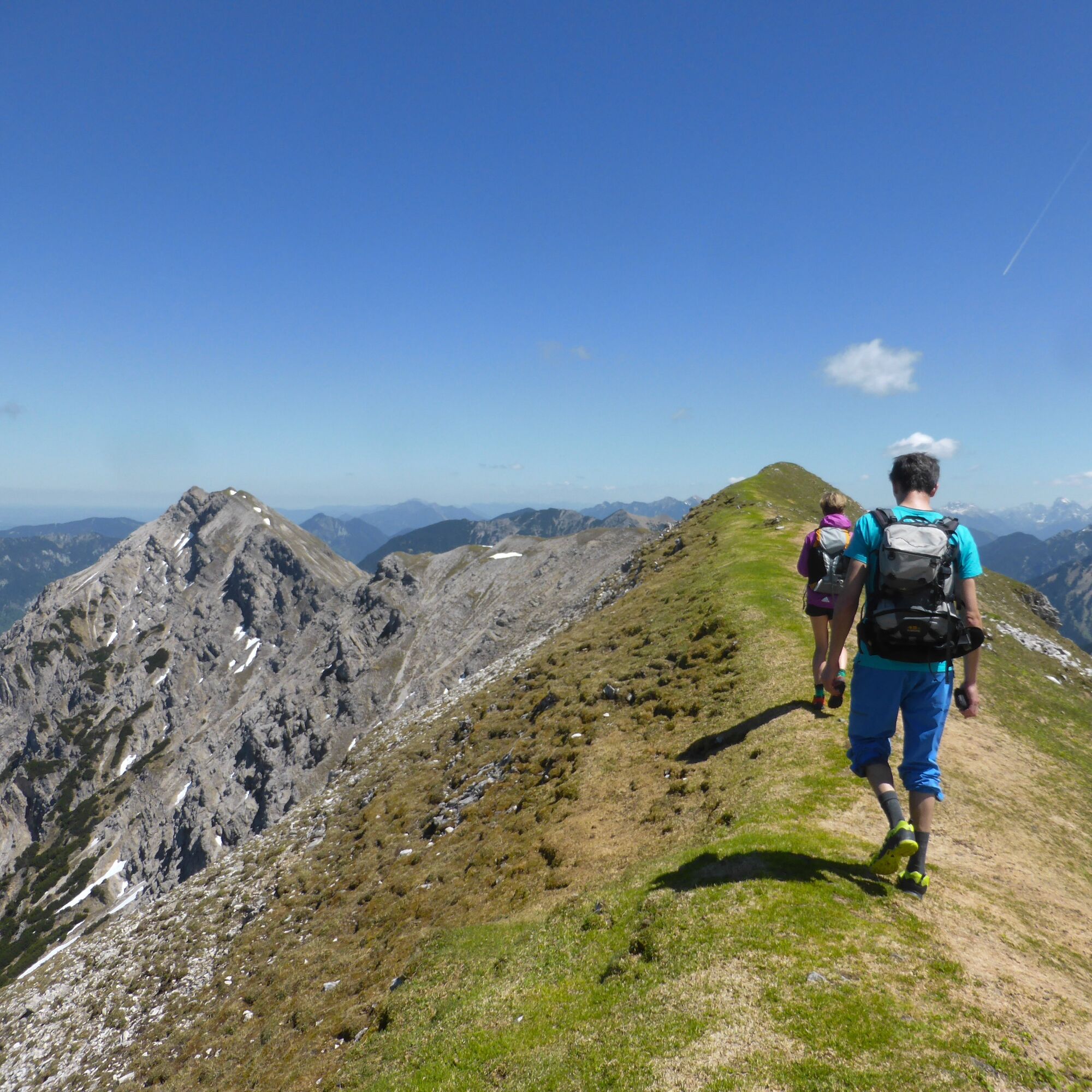
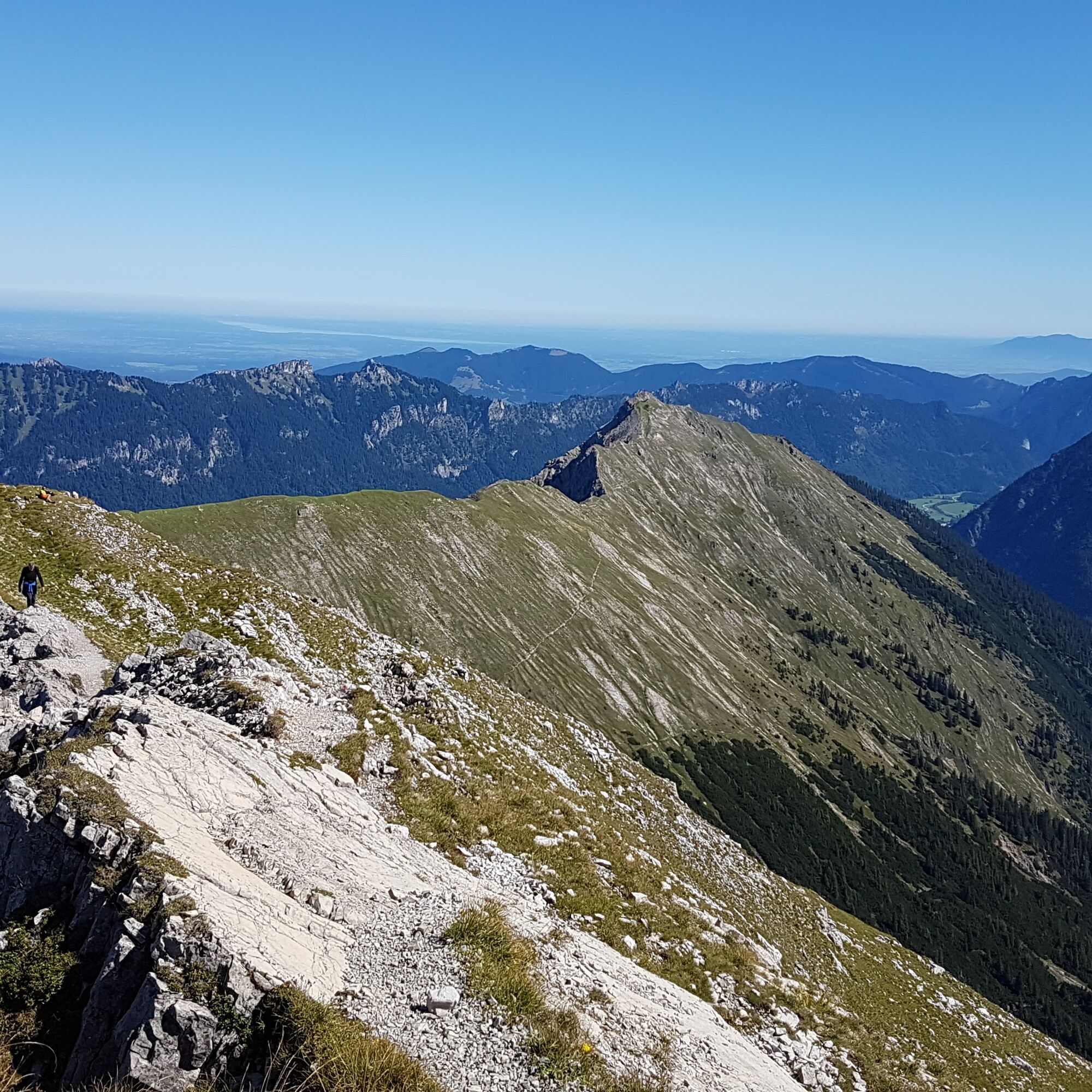
Mountain route - Kuchelbergkopf
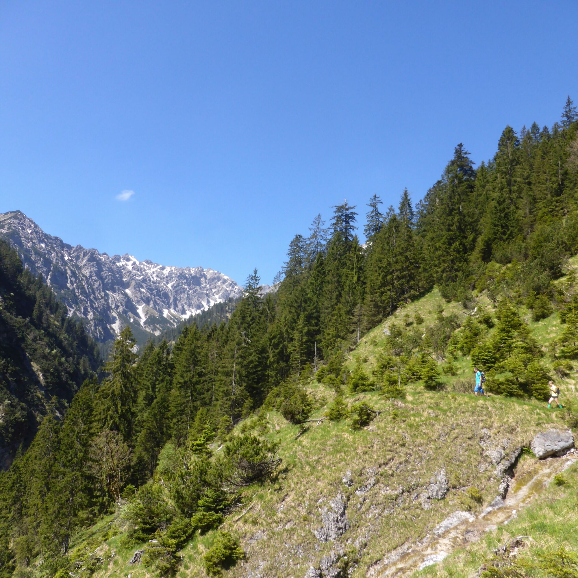
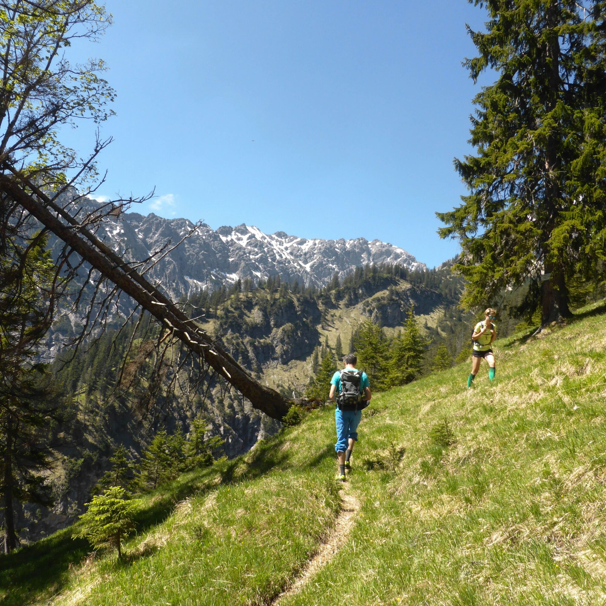
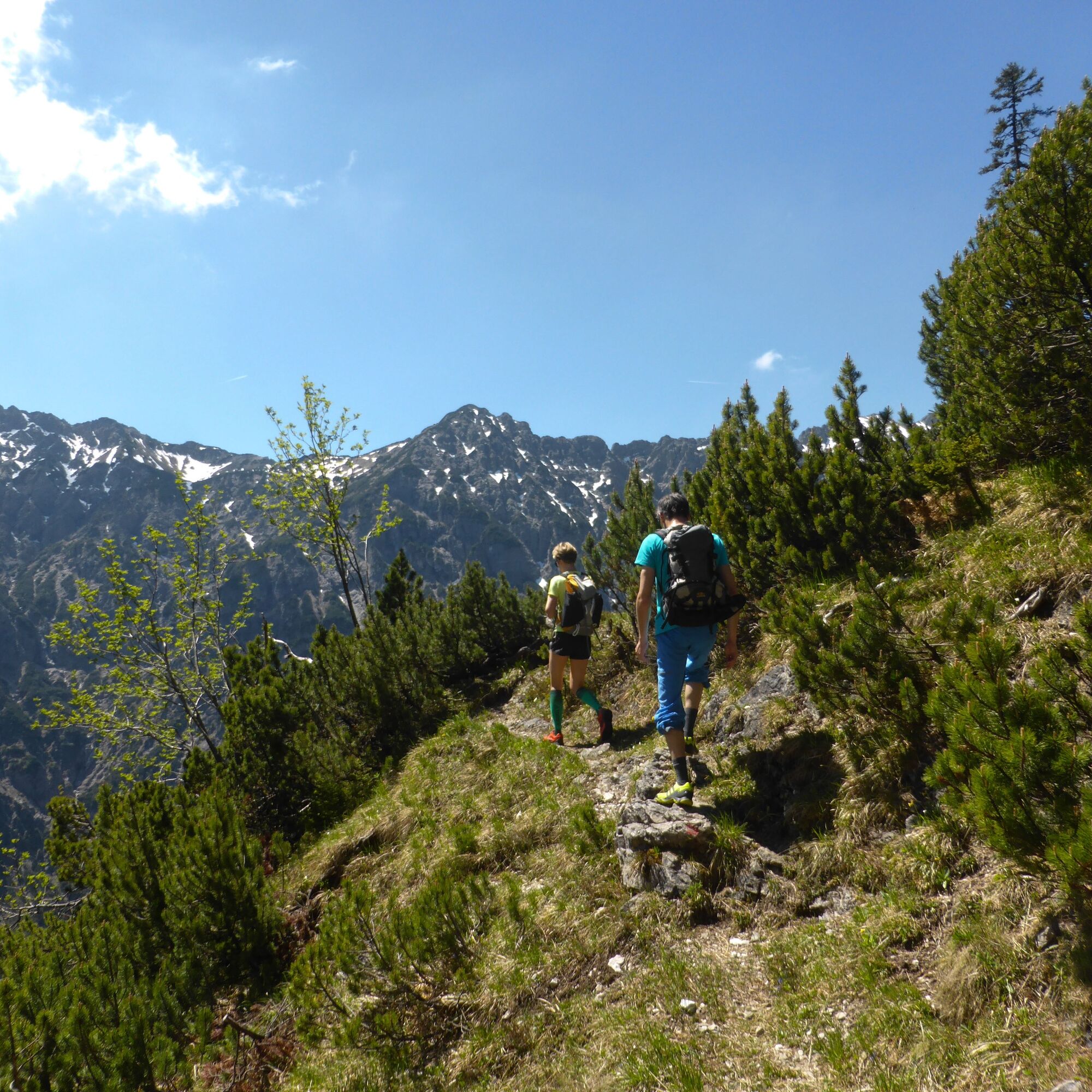
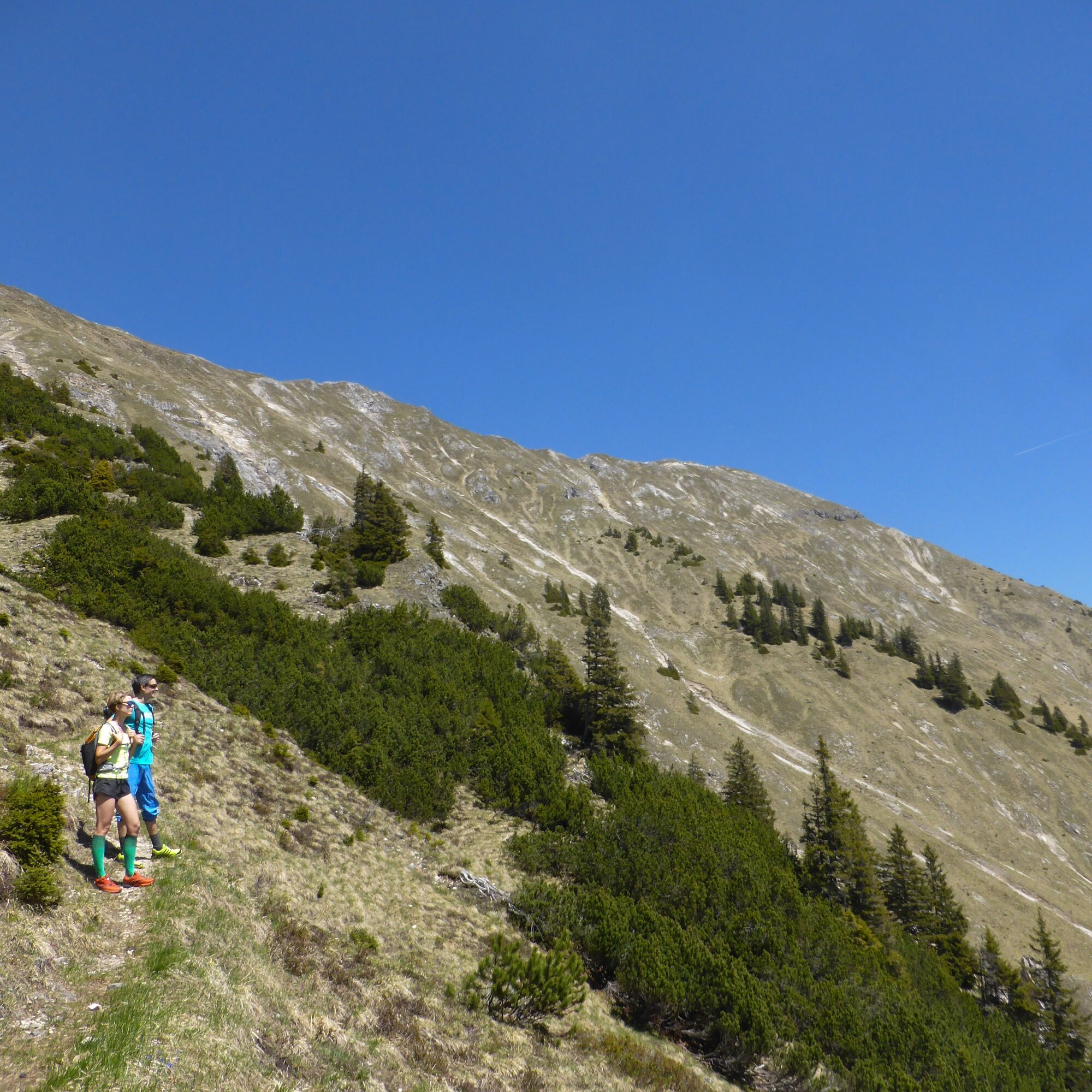
The initially long ascent over the Fürstenweg along the Kuchelbach is rewarded with breathtaking views of the Zugspitze and a panoramic view across the Nature Park. But beware! You should plan about 8...
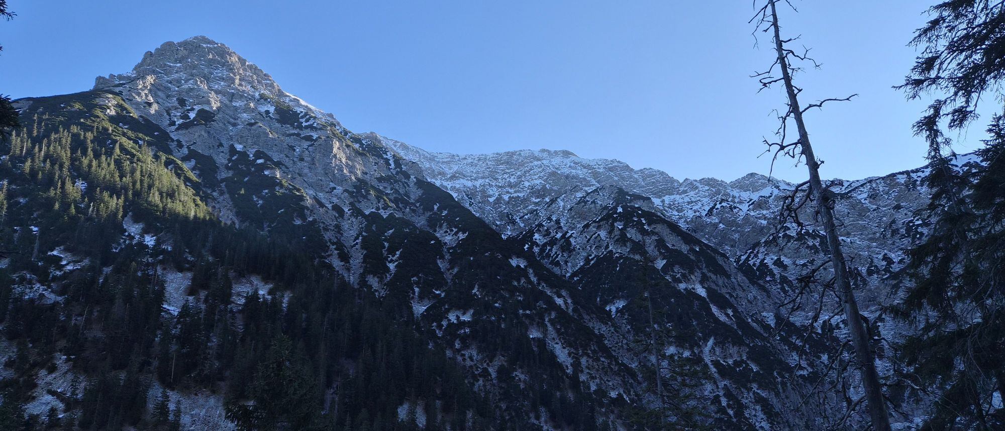
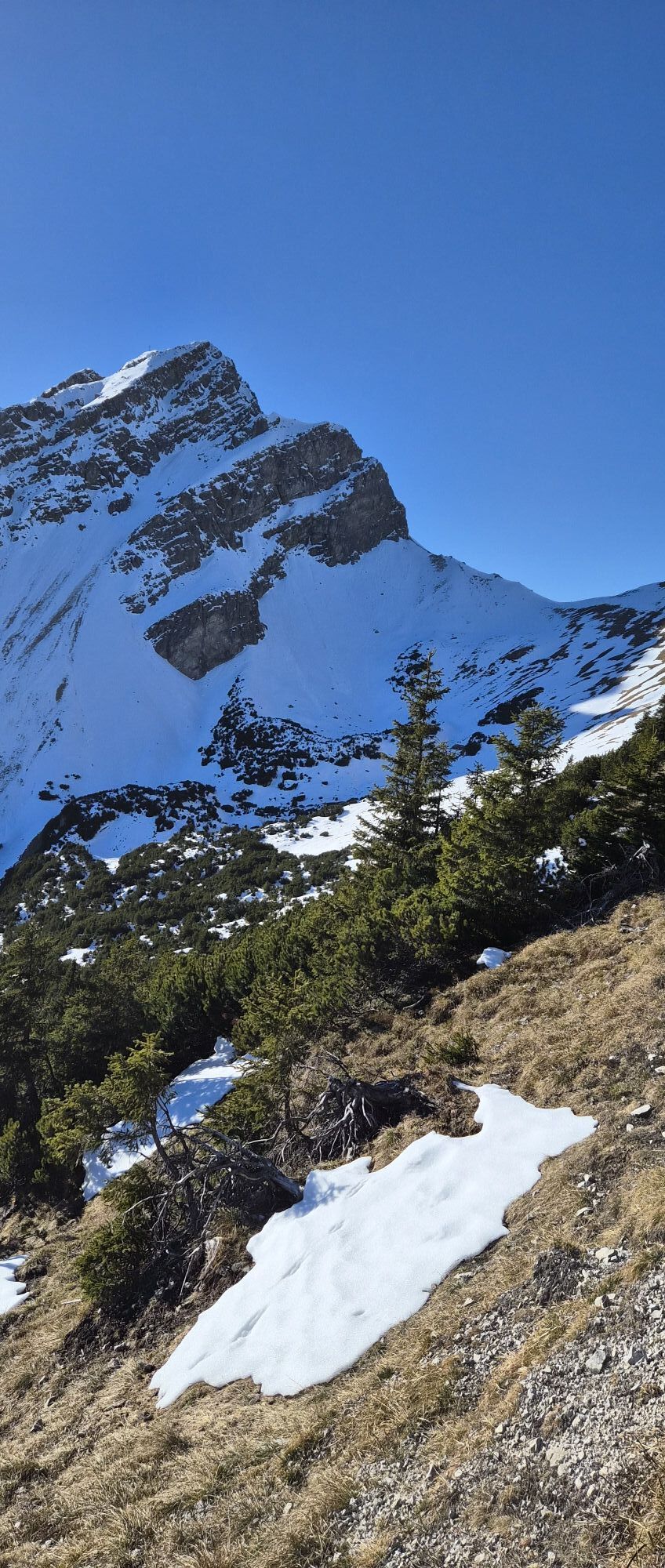
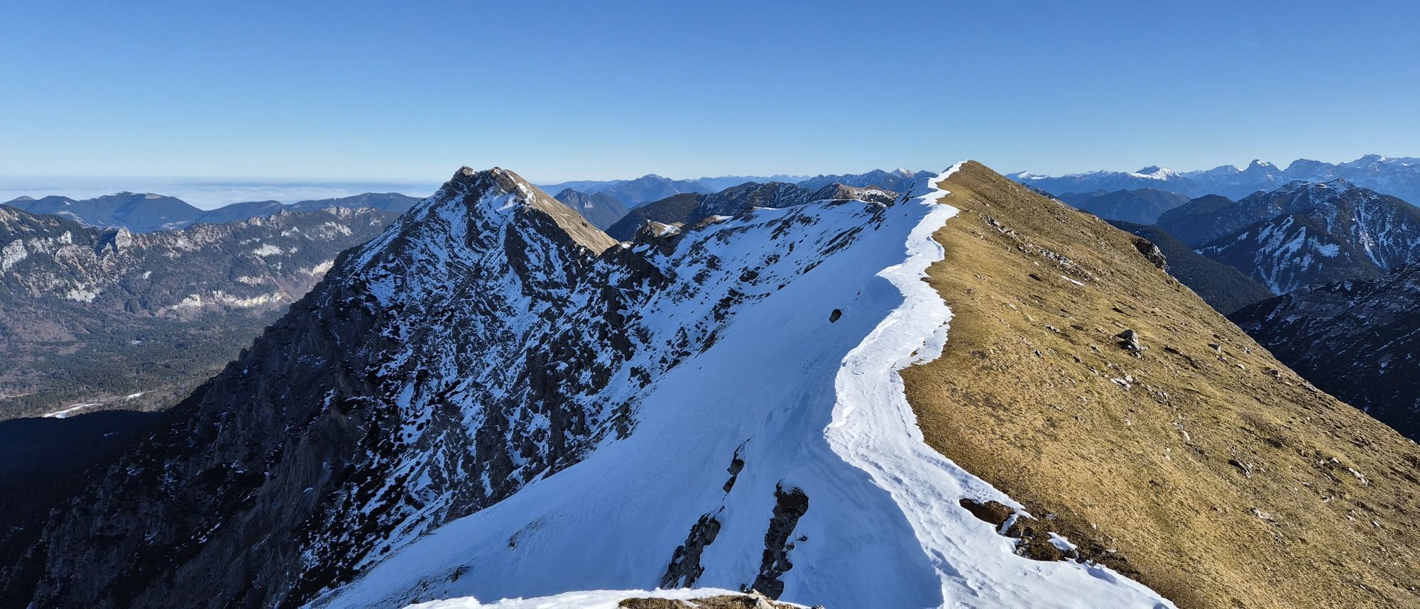
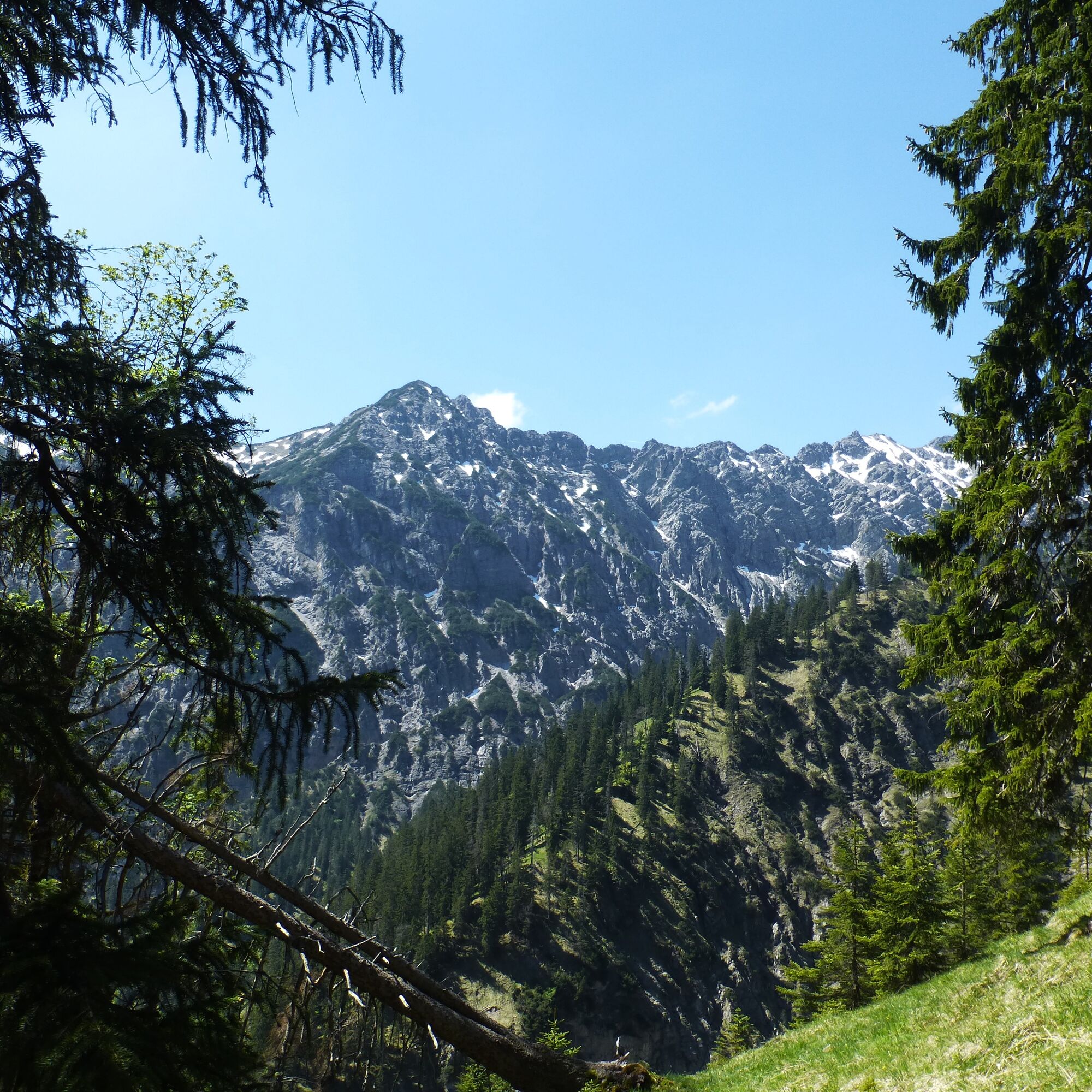
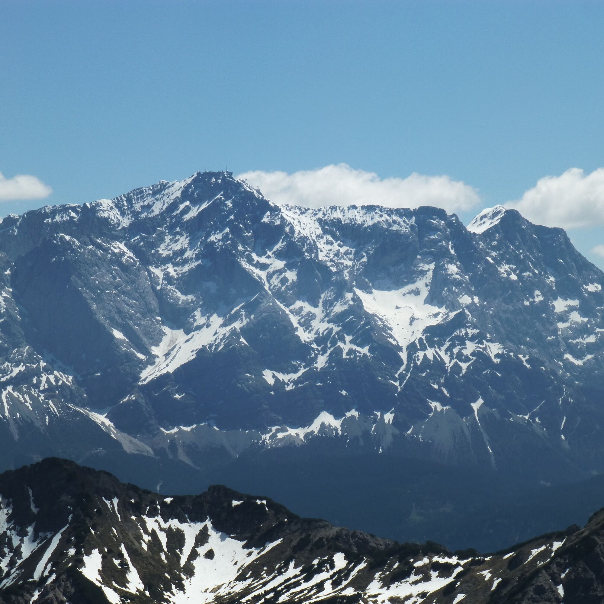
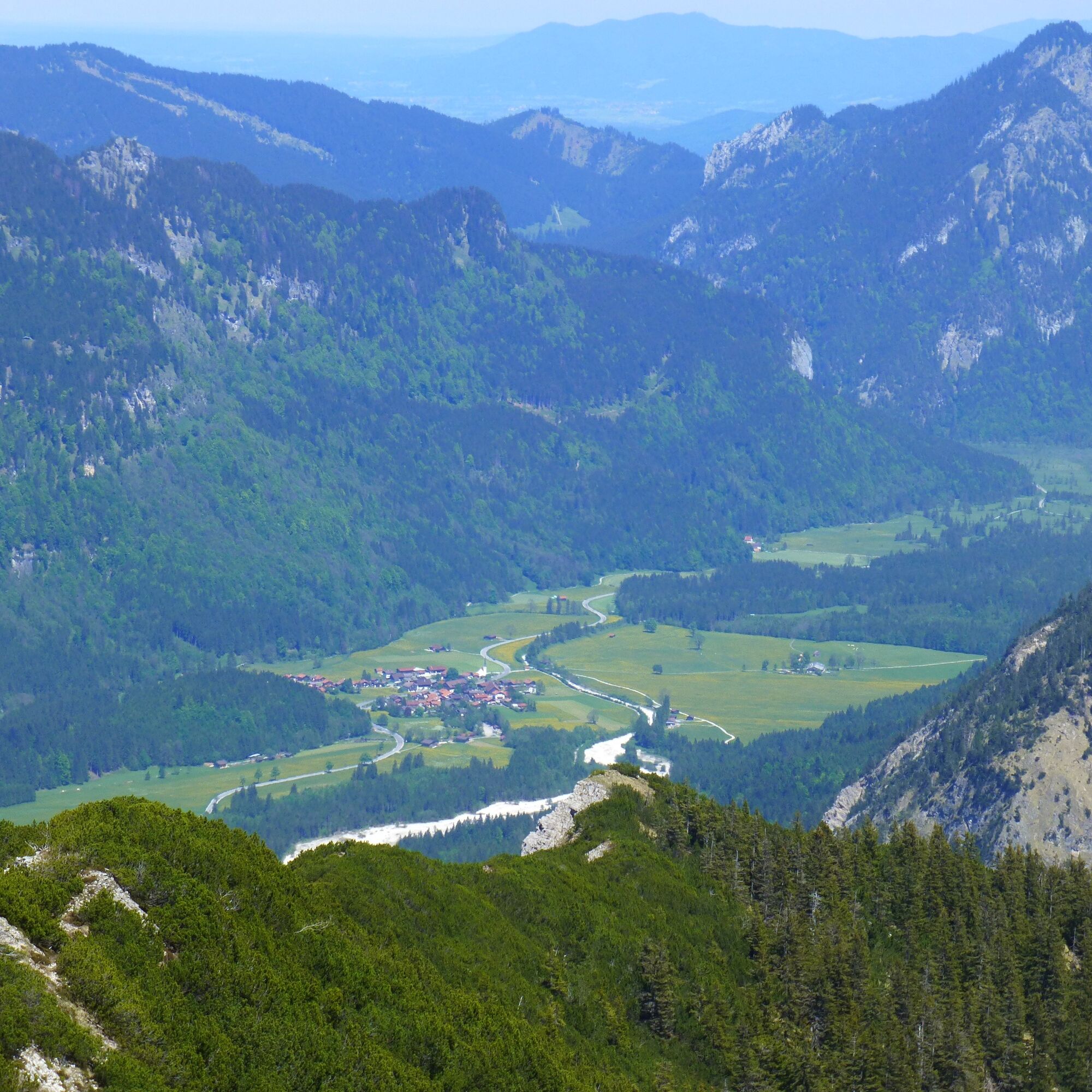
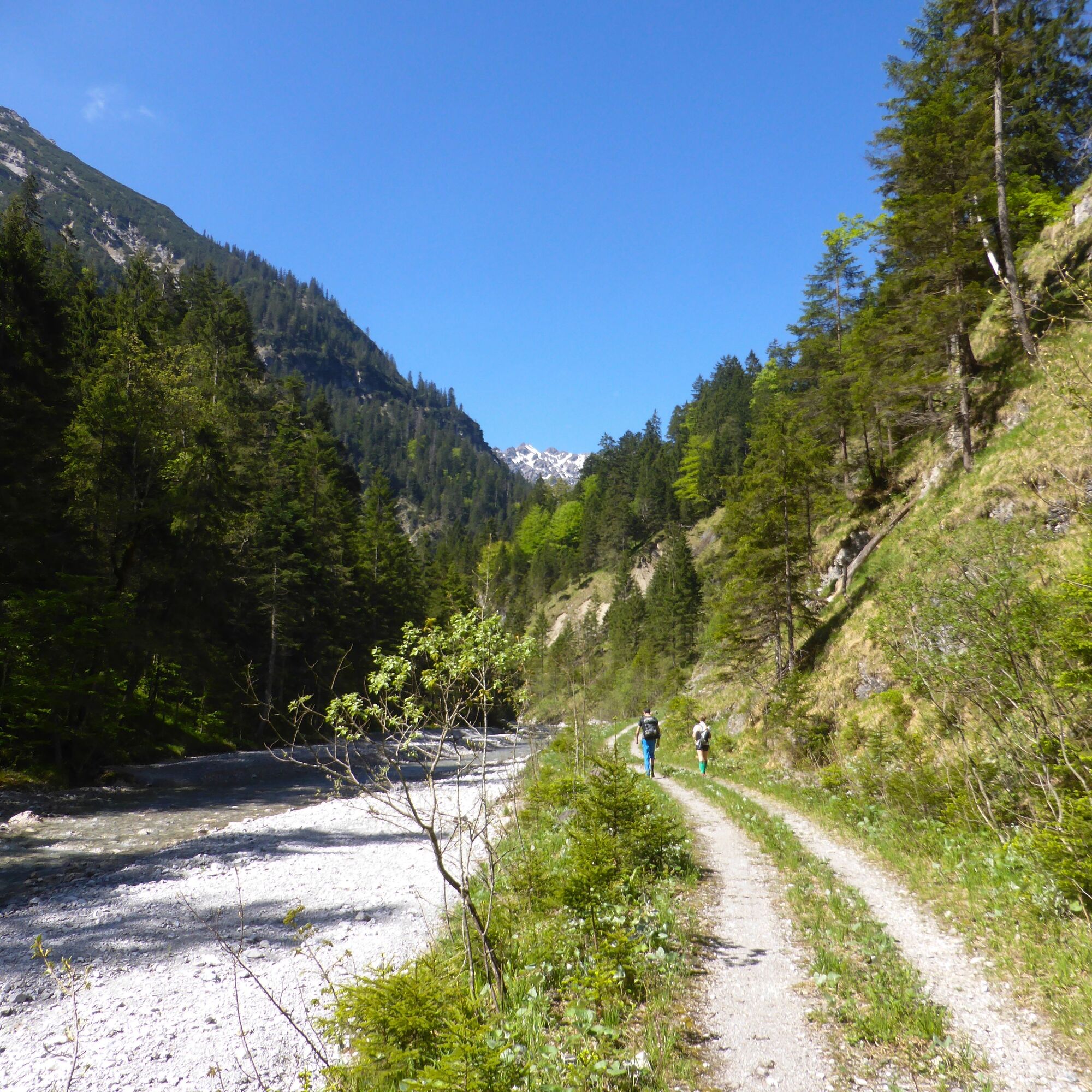
The initially long ascent over the Fürstenweg along the Kuchelbach is rewarded with breathtaking views of the Zugspitze and a panoramic view across the Nature Park. But beware! You should plan about 8 hours for this hike. Therefore, bring plenty of water and provisions.
Our recommendation:
Never get lost again - We recommend the free app "Zugspitz Region" including GPX tracks for all routes in the region
Kyllä
Kyllä
Welcome to the Nature Park Test Lounge! Here you can extensively test trekking poles, day backpacks, child carriers and crampons from well-known manufacturers before you decide to purchase. Let our team advise you so you can experience the best possible outdoor adventure. You can find our Nature Park Test Lounge at the tourist information offices in Bad Bayersoien and Bad Kohlgrub and at the Drahtesel Rental Lukas Spindler in Oberammergau.
More information: www.ammergauer-alpen.de/teststubn
In case of emergency, please contact the nearest rescue coordination center. Regardless of your location, you can reach them nationwide in Germany by dialing 112.
At Ettal, head towards Graswang and then continue towards Linderhof Castle until you reach the Fürstenweg car park
none
Fürstenweg hiking car park in the Graswang Valley
Since there is no hut on the route, you are mostly on your own and can fully enjoy the mountain idyll.
Suosittuja retkiä naapurustossa
-
4,5
Mountain route - Teufelstättkopf
mediumVaellus 10,8 km -
4,8
Zugspitze
raskasVaellus 8,45 km -
4,2
Cultural trail Schutzengelweg
mediumVaellus 5,13 km -
5,0
Zugspitze über Stopselziehersteig
raskasVaellus 12,2 km -
4,8
Schafkopf
valoVaellus 10,2 km -
4,4
Kuhfluchtwasserfälle
mediumVaellus 1,32 km -
4,6
Zugspitze via Stopselzieher Glettersteig
raskasVia ferrata 10,1 km -
4,4
Wank / Garmisch-Partenkirchen
mediumVaellus 11,8 km -
4,5
Circular hike Dreh- and Rohrkopfhütte
valoVaellus 8,76 km -
4,6
Mountain route - Laber via Soilasee
valoVaellus 11,8 km
Vaellus & jäljitys


Älä jää paitsi tarjouksista ja inspiraatiosta seuraavaa lomaasi varten.
Sähköpostiosoitteesi on lisätty postituslistalle.