


Amorbach Waldromantikweg aka. A9
First, the scenic high plateau of the elevated village Neudorf is climbed on quiet forest paths above Amorbach. From the high plateau, you descend again into the forest and hike to Gotthardsberg with the...
First, the scenic high plateau of the elevated village Neudorf is climbed on quiet forest paths above Amorbach. From the high plateau, you descend again into the forest and hike to Gotthardsberg with the impressive Gotthardsruine. From its roof, there is a great view over seven valleys. A forest path with beautiful viewpoints takes you back to Amorbach.


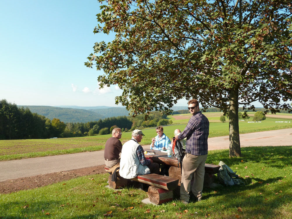
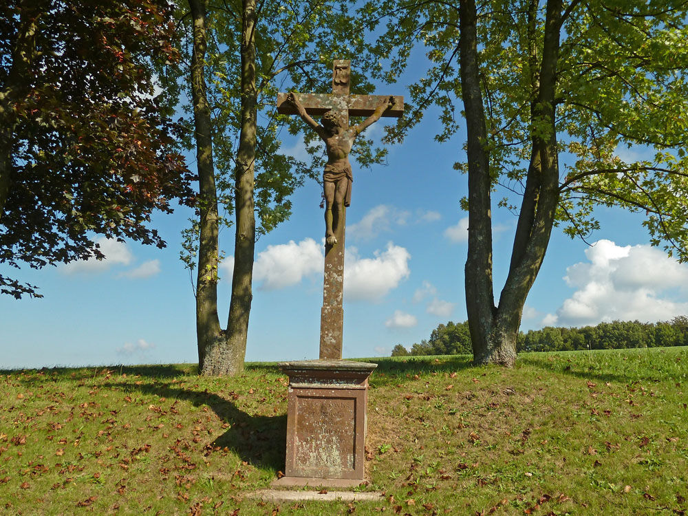
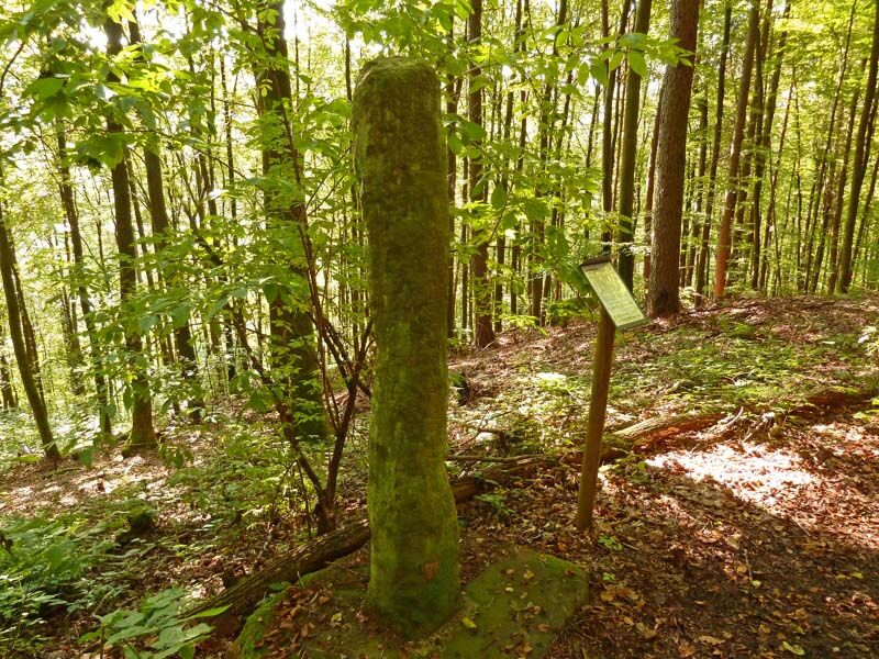
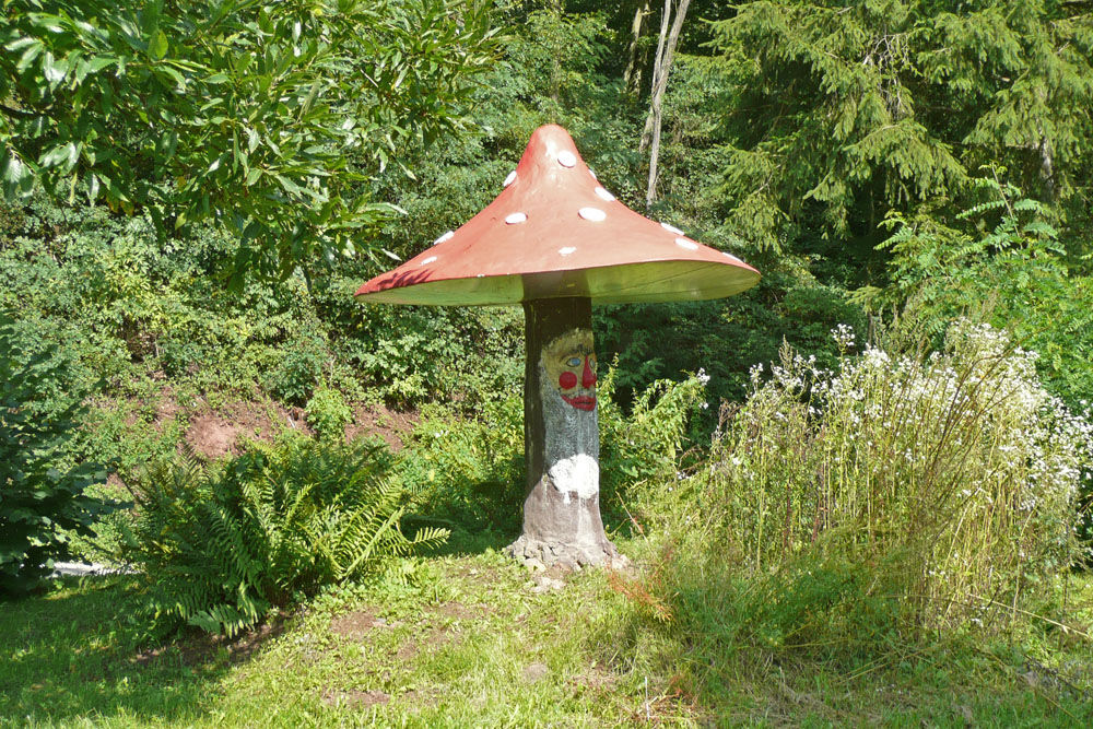
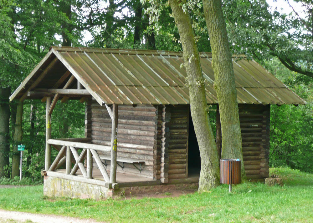
From the old town car park, head north past the statue of Saint Nepomuk over the Billbach bridge. After the bridge, the path turns right. Information boards of the Geo-Nature Park Bergstraße-Odenwald provide information about remarkable small treasures made of red Buntsandstein along the path. Follow the Buntsandsteinweg along the brook until you finally reach a barbecue hut in the Albert-Anlage. Now take serpentine paths up the Sommerberg. Along the way, you pass the viewpoint with the mushroom erected by the Odenwaldklub as well as the romantically babbling Amelsquelle. The serpentine paths merge into a hiking trail that leads past the Warzenstein to the idyllic village of Neudorf. Before the village entrance, turn left onto a small avenue where you can enjoy a wonderful panoramic view into the Bavarian and Baden Odenwald and a picnic area. Once again immersed in the dense mixed forests, you will soon reach a shelter hut called the Fuß-Pils-Hütte. Here, turn right onto a small path that leads above the Rheuenthal through a dense forest of Douglas fir and spruce to the Sattelhütte. Here you can enjoy another breathtaking view of the baroque town of Amorbach. Then continue to the Gotthardsberg. The impressive Gotthardsruine is the highlight of the hike. It is worth climbing the narrow spiral staircase inside the church up to the roof and enjoying the unique view. On the south side, follow the small path which leads back down to Gotthardsstraße. Following this, after a few hundred meters, you will see the starting point of the hike, the large old town car park.
Sturdy footwear is required.
From Aschaffenburg via the B 469, from Michelstadt via the B 47. At the town entrance, turn left at the traffic light intersection into Weilbacher Straße. Immediately after the railway crossing, turn right into Dr. F. A. Freundt-Straße, where the large old town car park is located on the left.
At the large old town car park

Suosittuja retkiä naapurustossa
-
Mountainbike-Strecke "Rund um Amorbach"
raskasMaastopyörä 30,3 km -
Buntsandsteinweg Etappe 1 - Miltenberg
valoVaellus 4,65 km -
Buntsandsteinweg Etappe 4 - Kirschfurt-Collenberg
mediumVaellus 8,61 km -
Buntsandstein-Erlebnisweg Gesamtstrecke
Teemareitti 39,9 km -
Smart Trail Odenwald
mediumPyöräily 19,7 km -
"Of Clay, Stones and Shards"
mediumVaellus 8,31 km -
4,0
European cultural route: "From Hecke to Häcke in Hebboch"
mediumVaellus 10,2 km -
Mountainbike-Rundstrecke Miltenberg
raskasMaastopyörä 28,8 km -
Franconian Red Wine Hiking Trail - 6th stage from Großheubach to Bürgstadt
mediumVaellus 15,3 km -
Großheubach, Kloster Engelberg, Kleinheubach
raskasE-Bike 12,5 km

Vaellus & jäljitys


Älä jää paitsi tarjouksista ja inspiraatiosta seuraavaa lomaasi varten.
Sähköpostiosoitteesi on lisätty postituslistalle.