


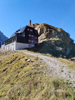
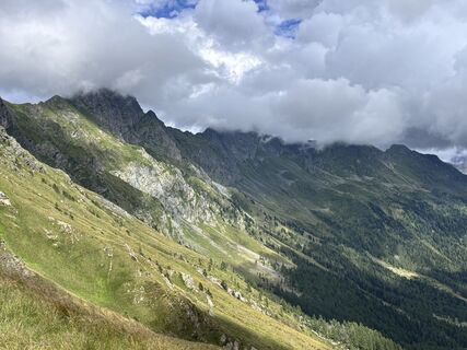
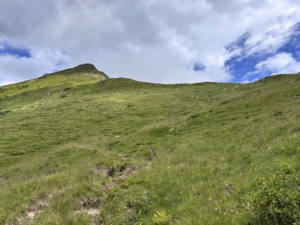
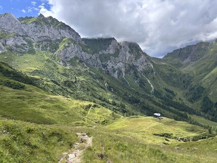
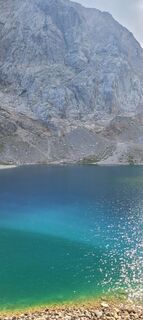
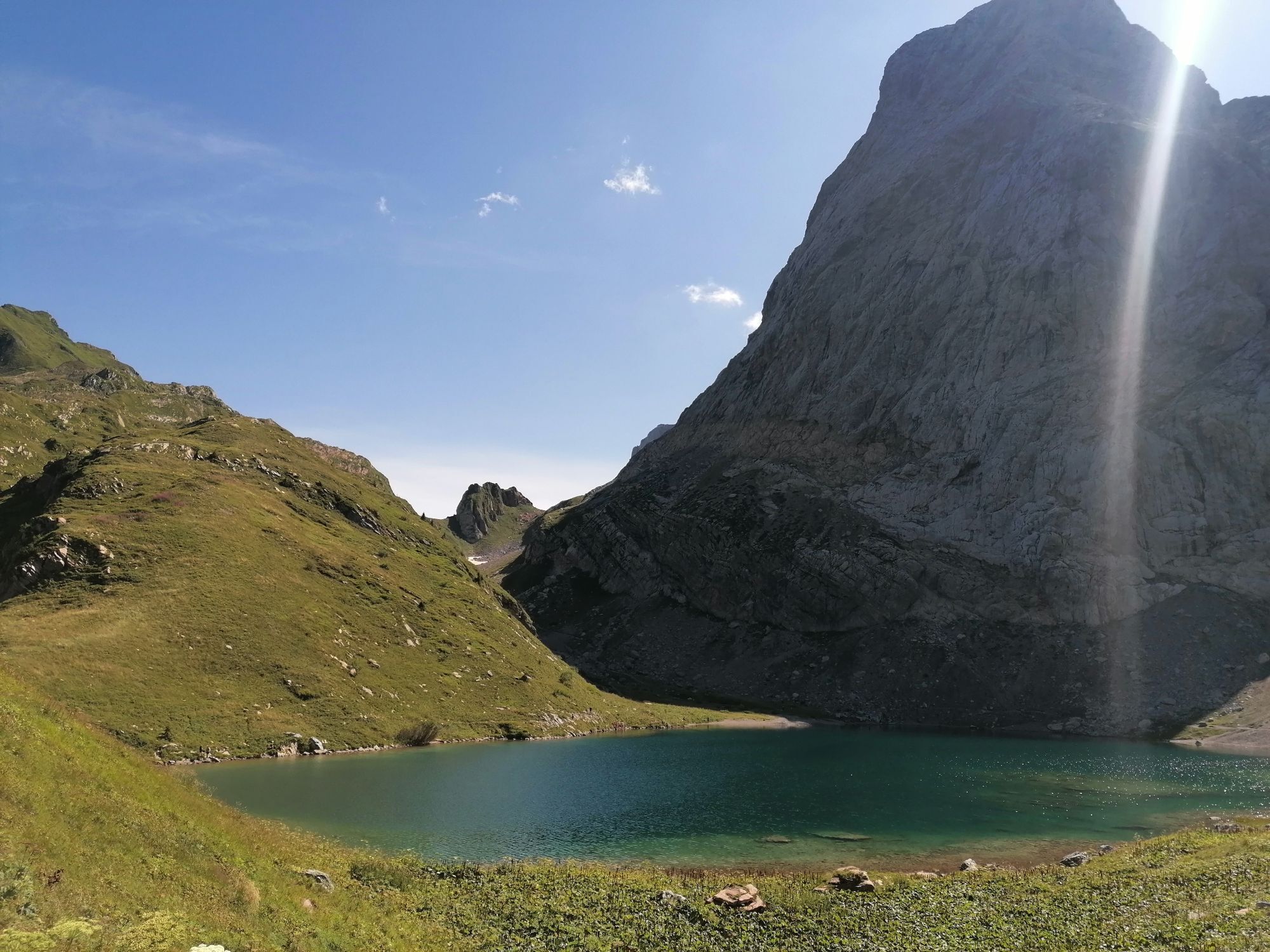
Karnischer Höhenweg – Etappe 4: Hochweißsteinhaus – Wolayersee Hütte


Kuvia käyttäjistämme
-
 © U KirschsteinLuotu 03.10.2025
 -
 © Alois MoosmannLuotu 24.08.2025
 -
 © Alois MoosmannLuotu 24.08.2025
 -
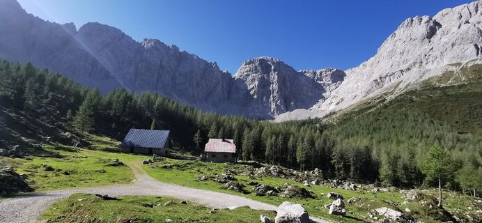
 © Alois MoosmannLuotu 24.08.2025
 -
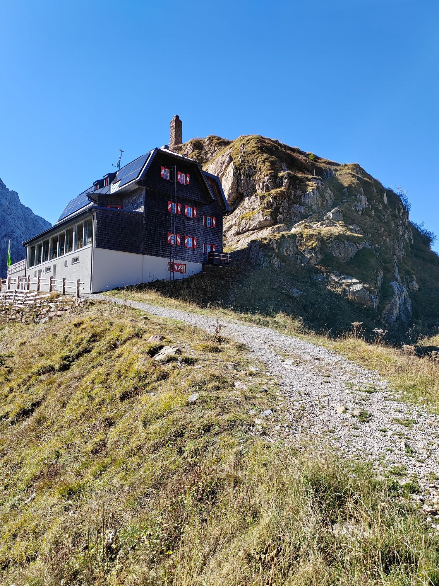
 © Alois MoosmannLuotu 24.08.2025
 -
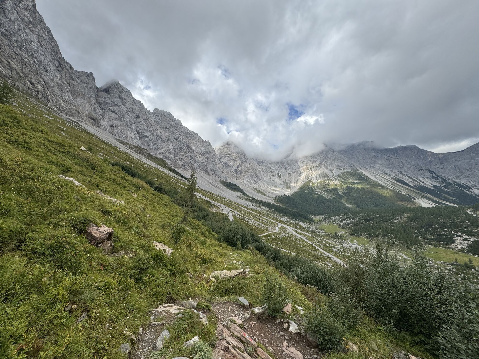
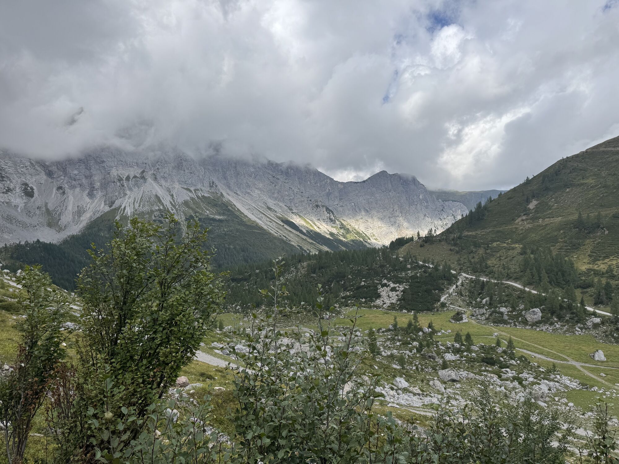
 © Harald SteinerLuotu 15.08.2025
 -

 © David StarkLuotu 18.07.2025
 -
 © KarolyLuotu 30.06.2025
 -
 © Sonce.SLuotu 15.08.2024
 -
 © Sonce.SLuotu 15.08.2024
 -
 © Sonce.SLuotu 15.08.2024
 -
 © Sonce.SLuotu 15.08.2024
 -
 © Sonce.SLuotu 15.08.2024
 -
 © Sonce.SLuotu 15.08.2024
 -
 © Nicole Cordova (Roßdeutscher)Luotu 25.07.2024
 -
 © Benmaurice228Luotu 30.07.2025
 -
 © Benmaurice228Luotu 30.07.2025
 -
 © Benmaurice228Luotu 30.07.2025
 -

 © Alois-Gerhard MairitschLuotu 30.08.2024
 -
 © Alois-Gerhard MairitschLuotu 30.08.2024
 -
 © Robert DerhaschnigLuotu 19.07.2025
 -
 © Robert DerhaschnigLuotu 19.07.2025
 -
 © Robert DerhaschnigLuotu 19.07.2025
 -
 © Robert DerhaschnigLuotu 19.07.2025
 -
 © Robert DerhaschnigLuotu 19.07.2025
 -

 © Susanna SchwarzLuotu 09.07.2025
 -
 © Susanna SchwarzLuotu 09.07.2025
 -
 © Sabine JohannLuotu 24.06.2025
 -

 © WindgaLuotu 11.09.2023
 -
 © WindgaLuotu 11.09.2023
 -
 © WindgaLuotu 11.09.2023


The Karnische Höhenweg is about 150 km long from Sillian to Arnoldstein and can be divided into 8-11 daily stages, a descent into the valley is (almost) possible at any time. Overnight stays in managed...
The Karnische Höhenweg is about 150 km long from Sillian to Arnoldstein and can be divided into 8-11 daily stages, a descent into the valley is (almost) possible at any time. Overnight stays in managed huts are sufficiently available.
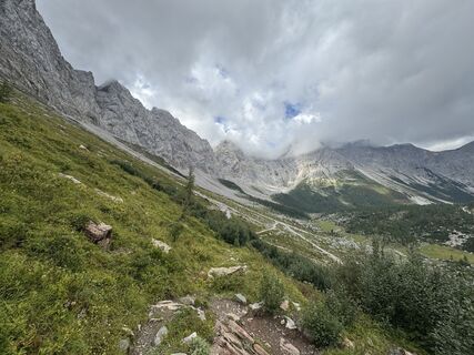
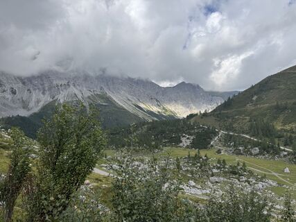
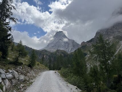
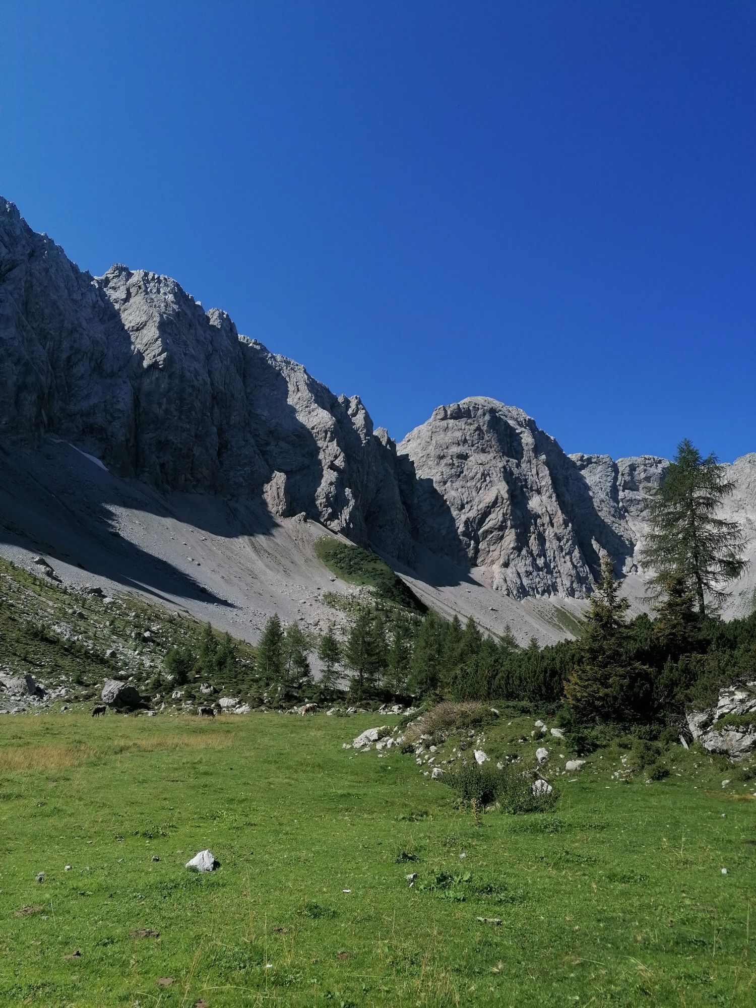
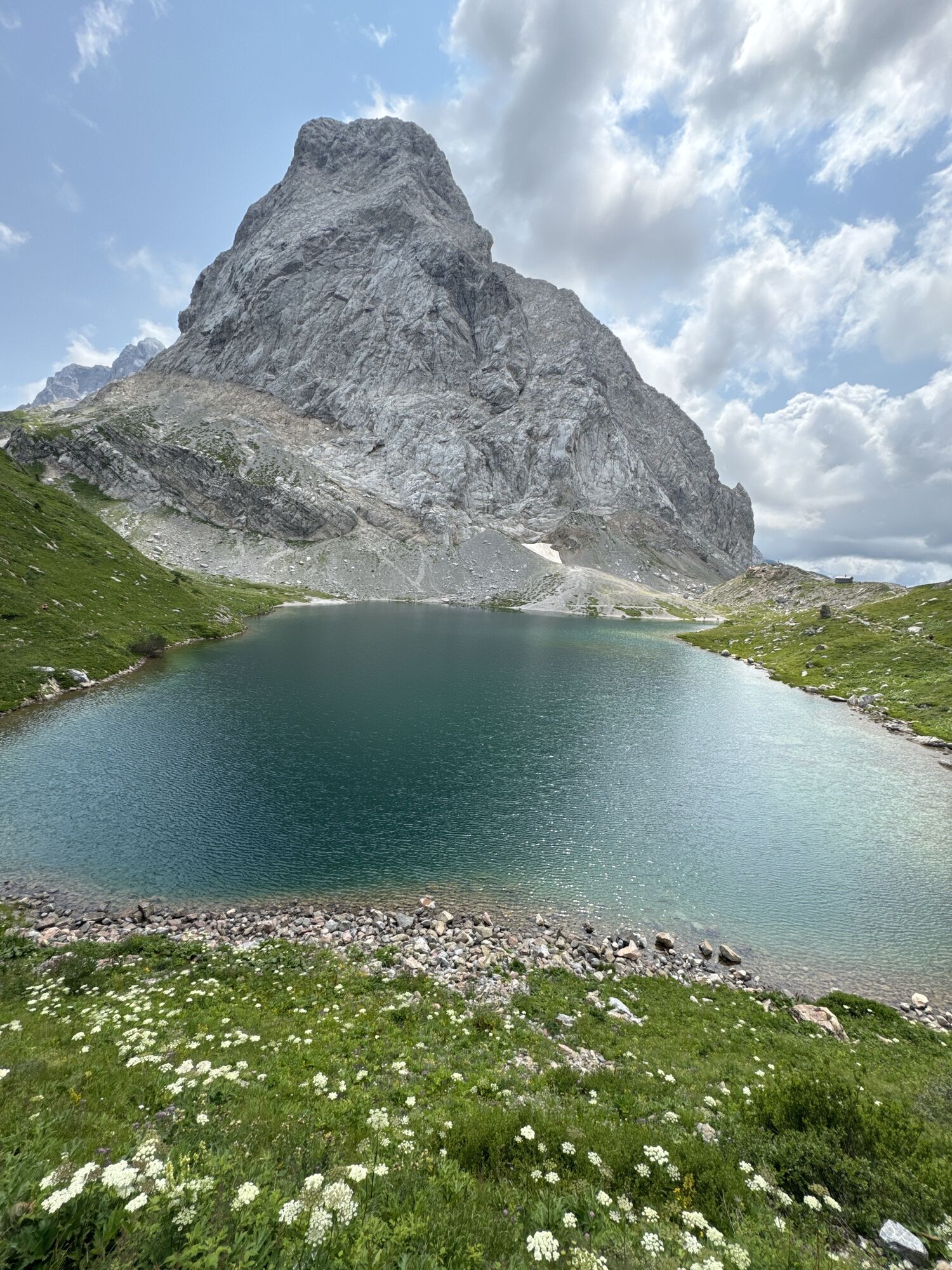
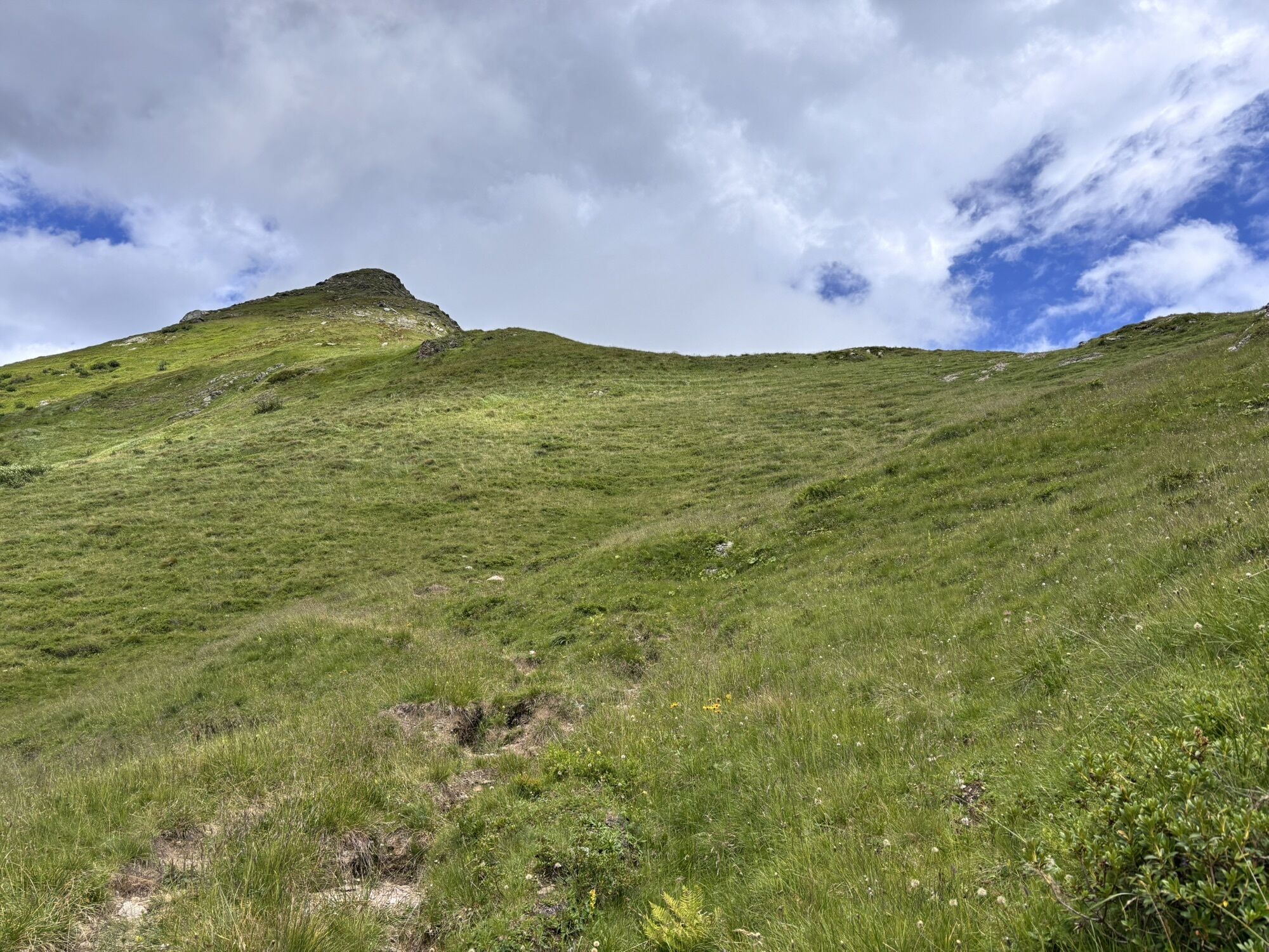
The somewhat longer section east of the Plöckenpass offers a gentle mountain landscape with extensive alpine meadows and easy hiking mountains. West of the Plöckenpass, the more interesting alpine section stretches along the highest peaks of the Carnic Ridge. The alpine long-distance hiking trail leads through a scenically extremely beautiful and varied area.

on the Italian side via Öfner Joch, Cra Fleons di Sotto and Giramondo Pass about 6 hours
Kyllä
Checklist tips:
Sturdy shoes (hiking boots or mountain boots)
(Hiking) Clothing for all weather conditions: rain protection, hats, gloves, ... (according to the season)
First aid kit
Money
Cell phone or radio
Hiking maps
Backpack
Sun protection and sunglasses
Flashlight or headlamp
Catering (drinks, water bottles and possibly food)
Toiletries
ev. hiking poles
...
Mostly alpine terrain, especially in the western part of the Karnischen Höhenweg. Sure-footedness, freedom from vertigo and the ability to climb easy climbing sections are required. Conditionally partly very demanding.
from St. Lorenzen by car into the Frohntal to the Ingridalm, 1.651 m (barriers), from there 45 minutes walking time. (200 meters altitude difference)
Arrival to St. Lorenzen im Lesachtal by public transport is possible.
Timetable under:
Parking is possible at the barrier.
Further information is available from the Nassfeld-Pressegger Information & Service Center at +43 4285 8241 and info@nassfeld.at
In addition to the conventional route, summit ascents can also be included. Especially recommended: Monte Peralba and Monte Chiadenis.
Suosittuja retkiä naapurustossa
-
4,3
Mountainbiketour von der Hubertuskapelle zum Wolayersee
raskasMaastopyörä 9,06 km -
4,9
Karnischer Hauptkamm - Hohe Warte 2.780m - Hike and Bike
raskasVaellus 19,5 km -
3,7
Cellon-Stollen und Senza Confini auf den Cellon und Steinberger Weg zum Abstieg
mediumVia ferrata 7,09 km -
2,9
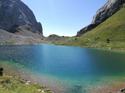
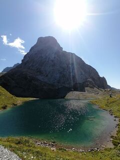
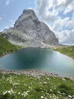
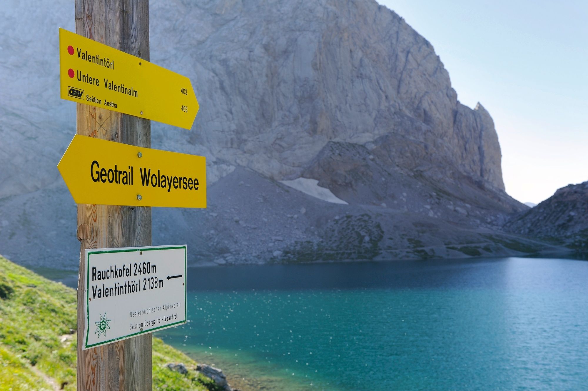
Wolayersee
raskasVaellus 7,90 km -
3,6
RW_N61 Kleiner Pal (1,867 m)
mediumVaellus 6,95 km -
Rauchkofel
mediumSkitour 15,5 km -
Hohe Warte (2.780 m) - Weg der 26er
raskasVia ferrata 14,2 km -
4,6
Obergail - Obergailer Alm - Obergailer Lake - Enderberg hut - Source for Health & Peace - Madonna circular hiking route - Obergail
mediumVaellus 11,4 km -
4,3
Bread & Morende Trail
mediumVaellus 11,3 km -
4,5
Karnischen Alpen
mediumVaellus 17,7 km

Vaellus & jäljitys


Älä jää paitsi tarjouksista ja inspiraatiosta seuraavaa lomaasi varten.
Sähköpostiosoitteesi on lisätty postituslistalle.