


SW_N10 Egger Alm


Kuvia käyttäjistämme
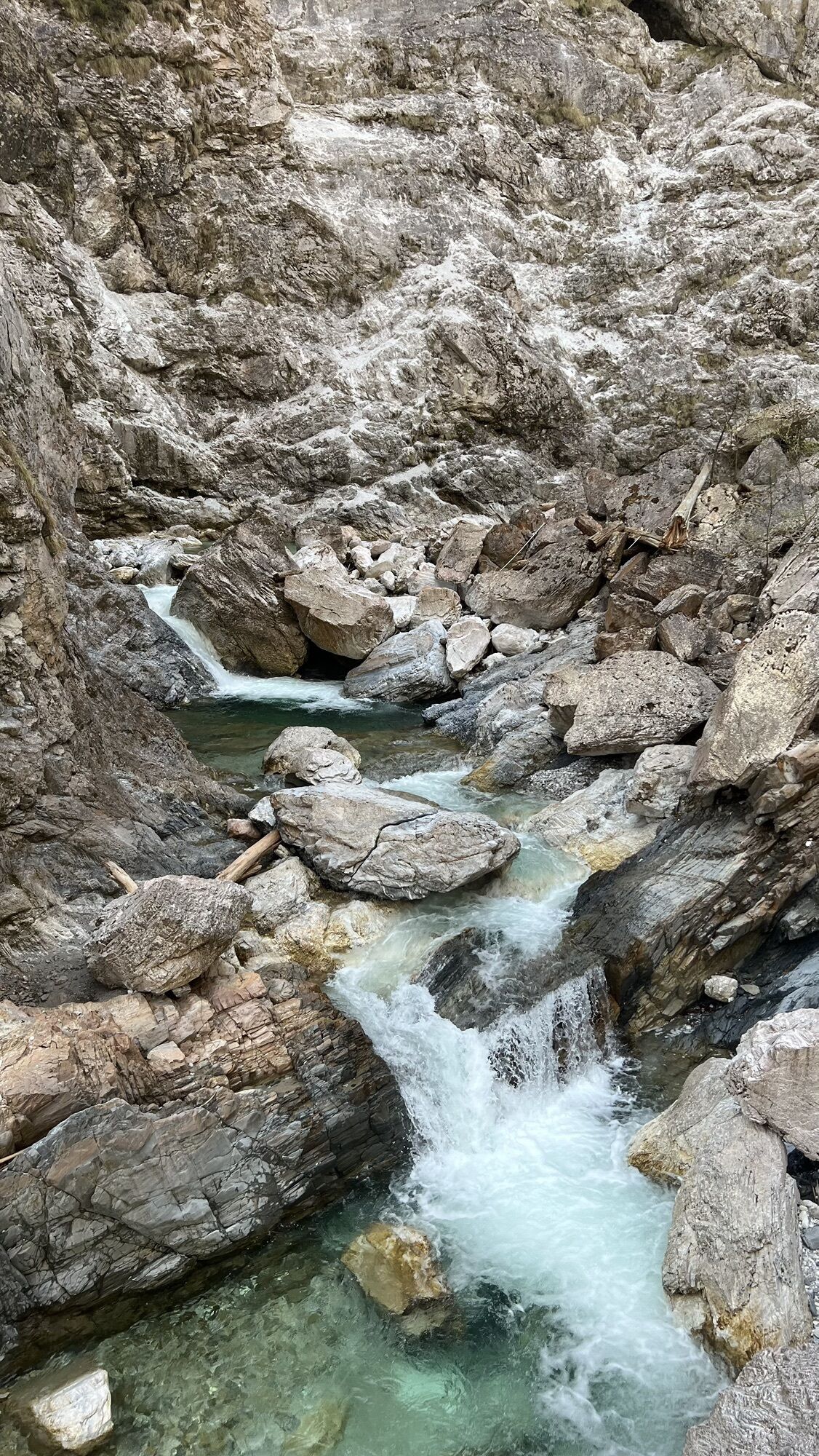
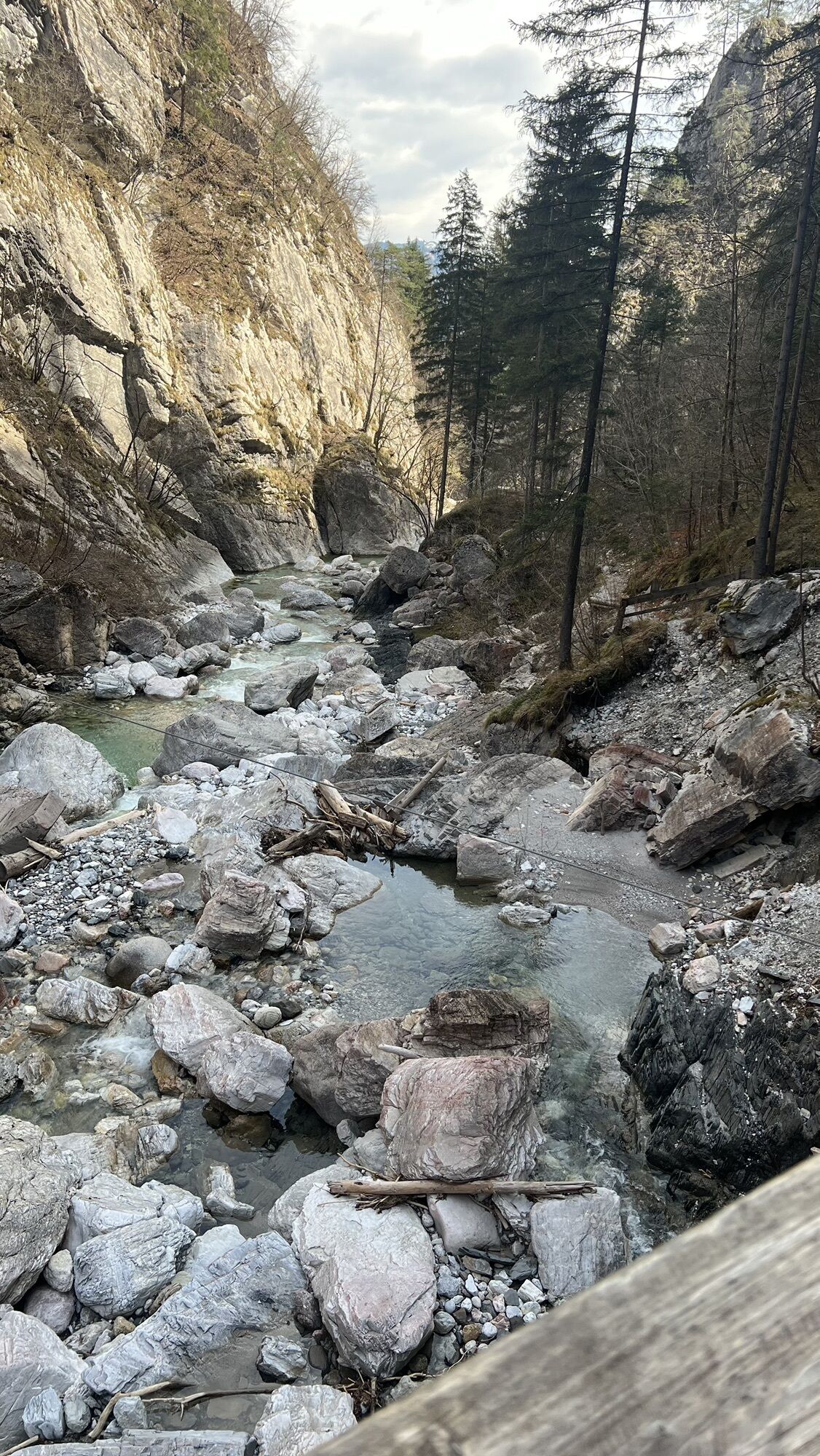
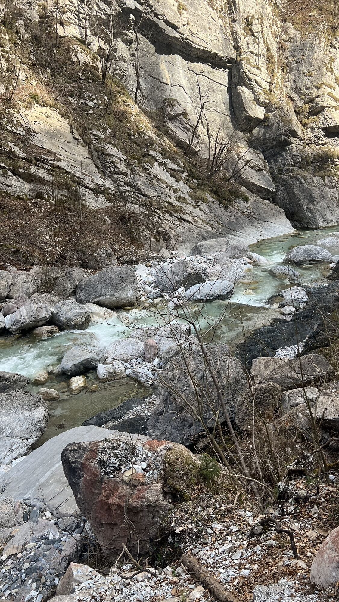
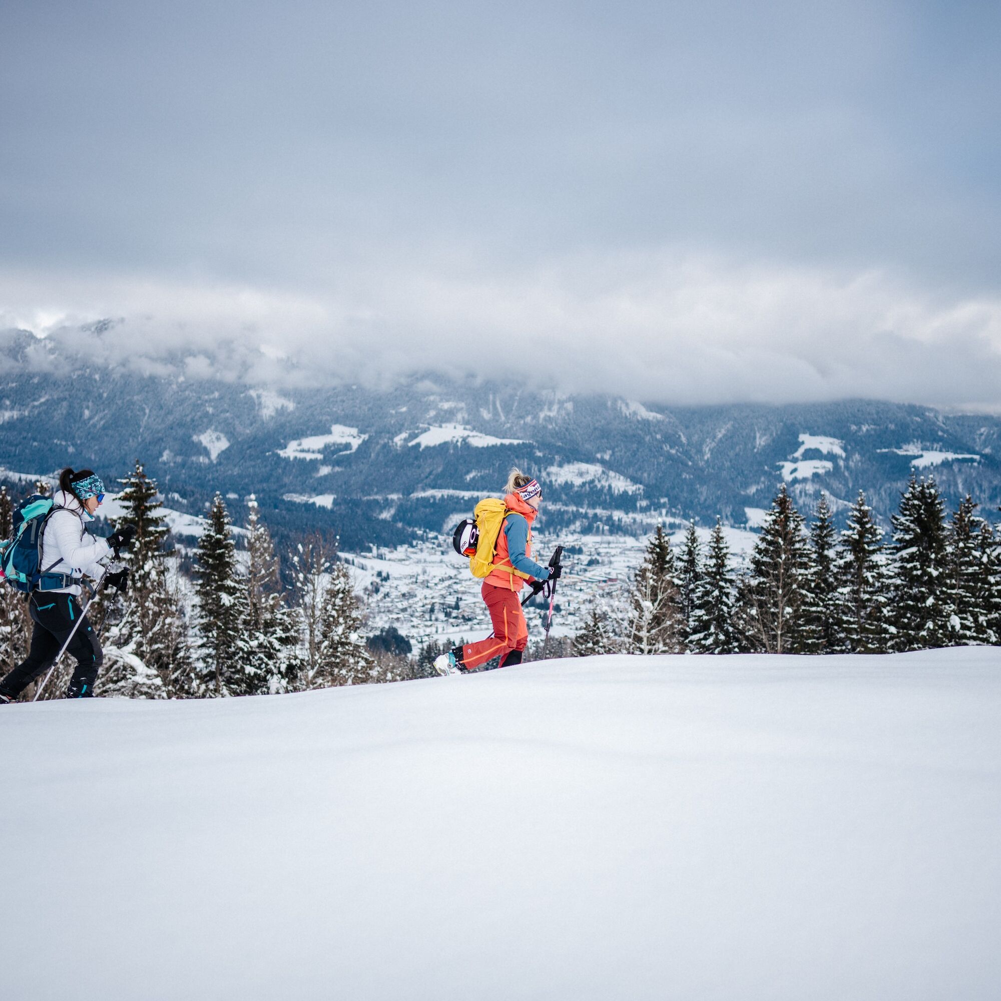
The route leads from the parking lot or entrance of the Garnitzenklamm mostly along the alpine road up to the high valley of the Egger Alm.
In midwinter, you can only drive from Möderndorf up to the Garnitzenklamm parking lot (at the Klammwirt, former Gasthaus zur Garnitzenklamm). Snow clearing ends here and Ski-Doo grooming begins. (Ski-Doo transport to Egger Alm is possible by hut keeper with prior arrangement).
From the Garnitzenklamm parking lot to Egger Alm, there are - provided sufficient snow - three time-saving options to shorten the road sensibly, described below. If snow conditions are insufficient, one should stay on the groomed road!
Shortcut: At about 780 m above sea level, about 50 m before (!) the first yellow signpost, you leave the road. Trailless ascent straight through sparse forest – after a few steps crossing a forest road, which you cross again further up (shortly before its end). From there, follow the red-white-red color markings of the so-called "Buchensteig" (trail number 89) on trees, indicating the serpentine path. At a yellow signpost "Egger Alm" you reach the groomed road again at about 935 m above sea level.
Shortcut: From hairpin bend 4 (sign, 995 m) there is a short diagonal shortcut up to hairpin bend 6 (again signposted).
Shortcut: At hairpin bend 7 (sign, 1045 m) a yellow signpost "Egger Alm" indicates the junction of a trail. It crosses briefly left, then long right in a small ditch (red-white-red marked; old historic path). At the next yellow signpost, hairpin bend 13 (sign, 1135 m) is already reached!
The yellow signpost "Egger Alm", located at a house at about 1190 m, is ignored (as it is not a shortcut but a detour with altitude loss!) and you stay on the road!
FAIR PLAY & RESPECT:
Care for nature – landowners – your health.... and safety on the mountain have the highest priority in your route and the associated route planning!
Please inform yourself before every ski tour about the rules of conduct - Sicherheit-am-Berg, as well as the current snow and avalanche report Lawinenwarndienst Kärnten and the weather situation.
Waste disposal:
Waste is not always avoidable – but it has no place in nature and must be disposed of properly (preferably in the valley or at home).
Emergency numbers:
Euro emergency call: 112 (access to any available network)
Mountain rescue Austria: 140
Access via the B111 to Hermagor. Turn towards Möderndorf - Egger Alm. The starting point is in Möderndorf / Klammwirt Garnitzenklamm.
Arrival to Möderndorf is possible by public transport.
Free parking spaces are available at the starting point.
Are you looking for snowshoe hiking route tips in the region as well as a certified guide for a guided snowshoe hike?
You can find this and many other informations at - route tips and provider info
Places to eat:
In the town center of Hermagor, as well as in the surrounding villages (Micheldorf, Egg...) there are numerous year-round open places to eat – details at Service A-Z.
On some winter days, there is also a place to eat at the "Gasthaus zum Rudi" (directly on the Egger Alm).
Suosittuja retkiä naapurustossa
-
4,9
Weissensee Ost- nach Westufer
valoVaellus 10,2 km -
4,8
Slow Trail Weissensee
mediumVaellus 6,69 km -
5,0
RW_N9 Weißenbachklamm
raskasVaellus 8,16 km -
4,6
W5 - Naggler Alm Round Weissensee
mediumMaastopyörä 15,8 km -
4,5
Bergstation Weißensee bis Golz
mediumVaellus 14,8 km -
3,0
Hermagor: Gartnerkofel
Vaellus 7,70 km -
5,0
Weissensee Steinwandpfad
mediumVaellus 9,10 km -
5,0
Möselalm - Weißbriach/Gitschtal
valoVaellus 5,12 km -
5,0
Nassfeld Grenze - Gartnerkofel
valoVaellus 8,41 km -
4,6
Ortsee via Ronacherfels and Kleine Steinwand - Weissensee
mediumVaellus 8,53 km
Vaellus & jäljitys


Älä jää paitsi tarjouksista ja inspiraatiosta seuraavaa lomaasi varten.
Sähköpostiosoitteesi on lisätty postituslistalle.