The commune of Römerswil is located in the Hochdorf district of the Lucerne Seetal, on the southern and eastern slopes of the "Erlosen" hill range. The village of Römerswil is situated at 723 metres above sea level. Other residential areas outside the village proper are the hamlet of Nunwil and the districts of Herlisberg, Huwil and Niffel. Many individual properties are scattered across...
The commune of Römerswil is located in the Hochdorf district of the Lucerne Seetal, on the southern and eastern slopes of the "Erlosen" hill range. The village of Römerswil is situated at 723 metres above sea level. Other residential areas outside the village proper are the hamlet of Nunwil and the districts of Herlisberg, Huwil and Niffel. Many individual properties are scattered across the extensive municipal area of 17.39 km².
The industrial estate of Römerswil is located in the Ron plain, adjacent to that of Hochdorf. From the confluence of the Ron to Retschwil, Römerswil borders Lake Baldegg. The lake belongs to Pro Natura Switzerland.
Ota yhteyttä

Hiihtokeskukset lähistöllä
-
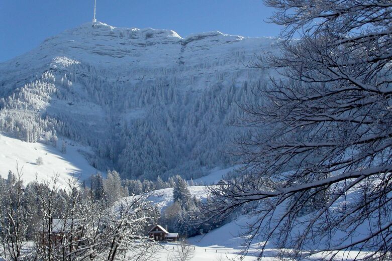
Seebodenalp
Luzern - Vierwaldstättersee
-
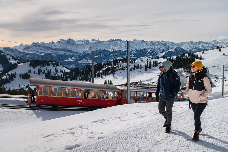
Rigi
Luzern - Vierwaldstättersee
-
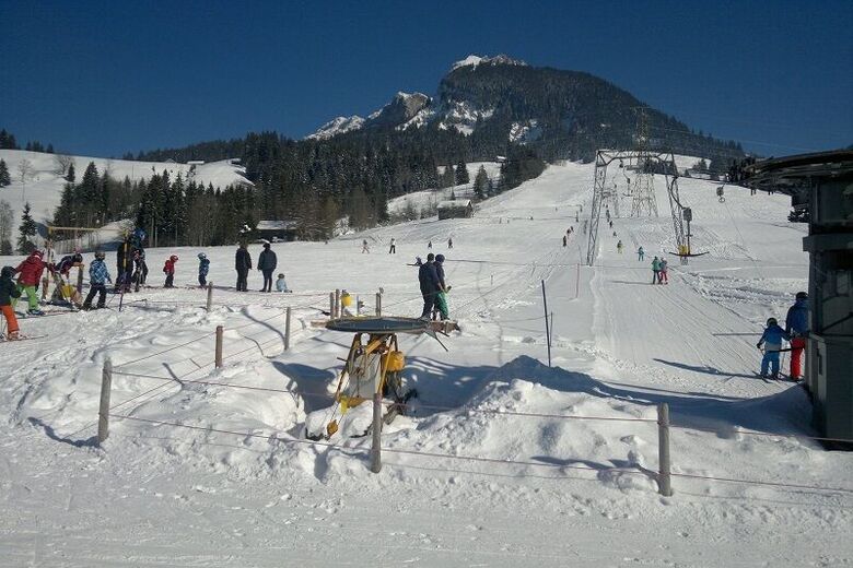
Nollen
Luzern - Vierwaldstättersee
-
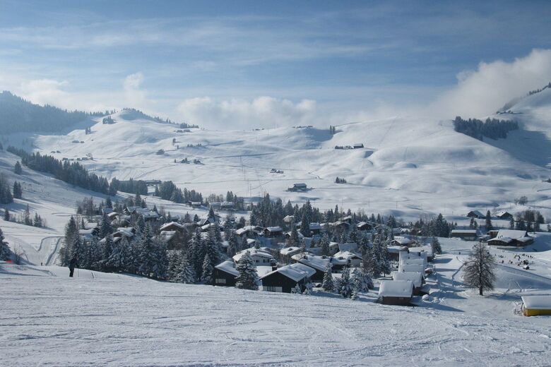
Gfellen
Luzern - Vierwaldstättersee
-
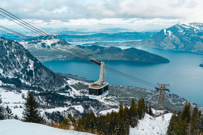
Dallenwil
Luzern - Vierwaldstättersee
-
Klewenalp
Luzern - Vierwaldstättersee
-
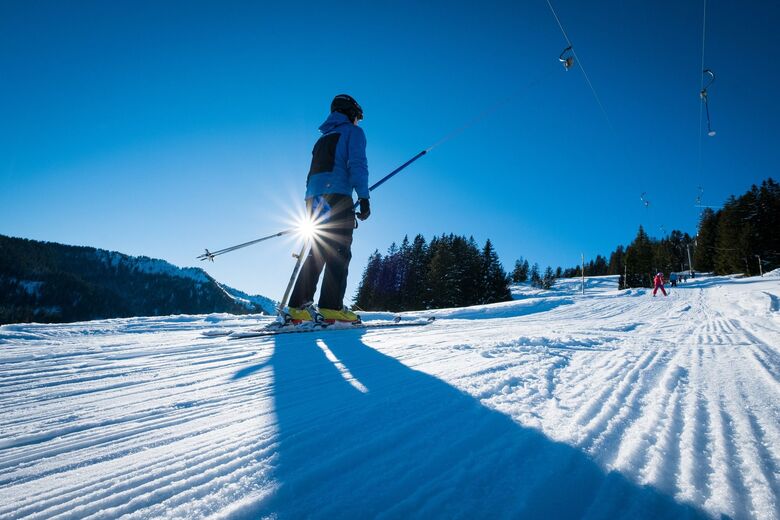
Langis
Luzern - Vierwaldstättersee
-
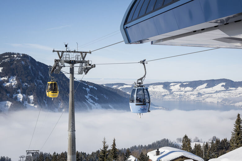
Hochstuckli
Luzern - Vierwaldstättersee
-
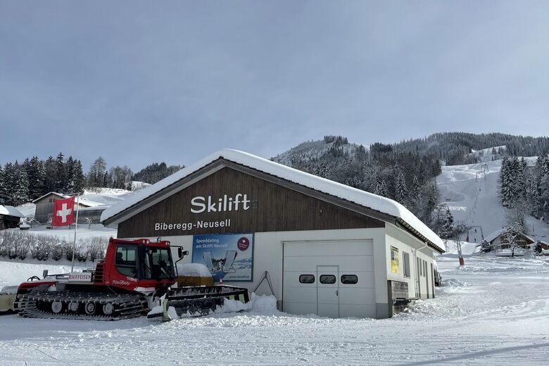
Neusell
Luzern - Vierwaldstättersee
-
Gitschenen
Luzern - Vierwaldstättersee


Vaellus & jäljitys




Älä jää paitsi tarjouksista ja inspiraatiosta seuraavaa lomaasi varten.
Sähköpostiosoitteesi on lisätty postituslistalle.





