


Grünten tour
Vaikeustaso: 3


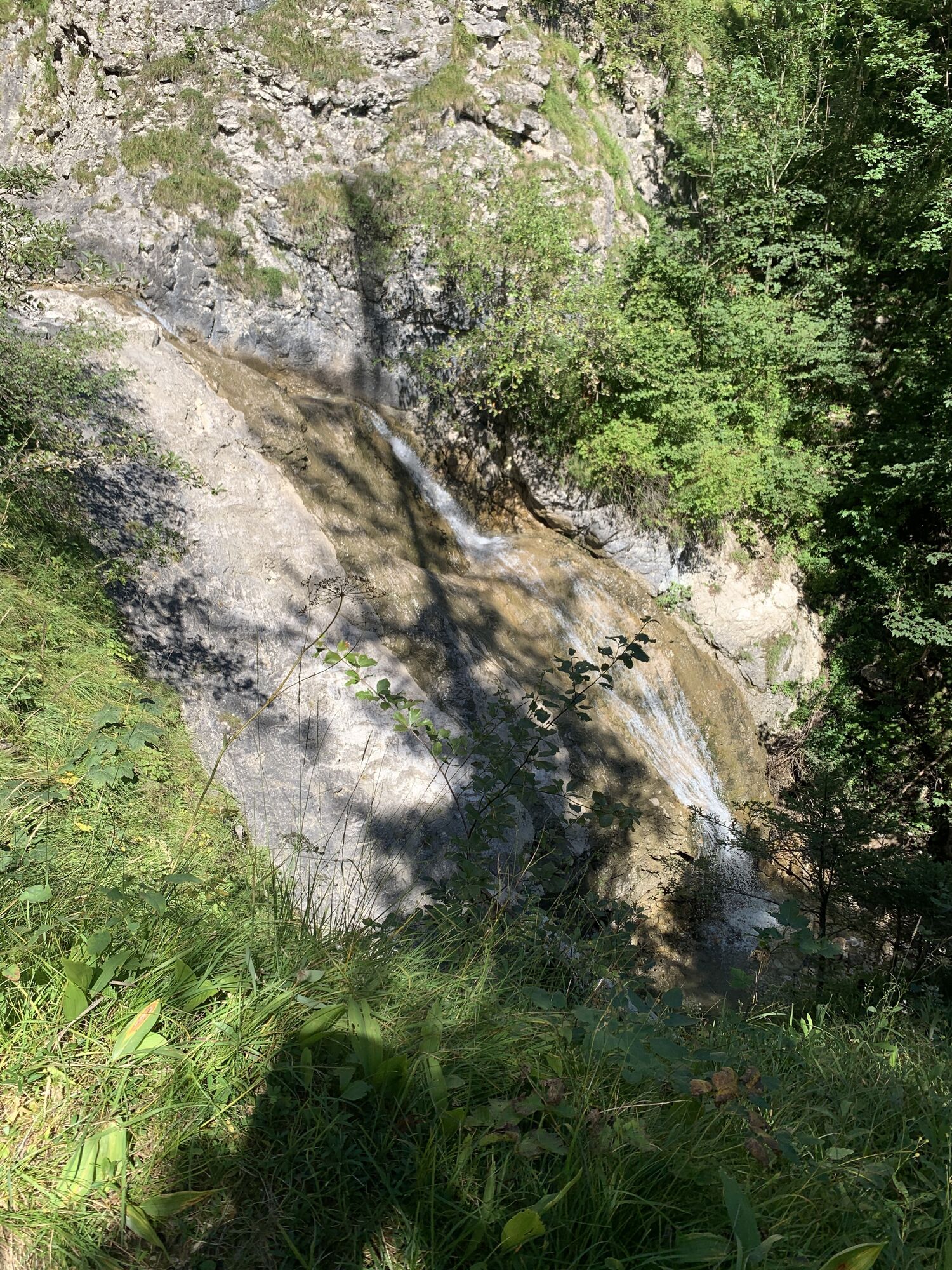
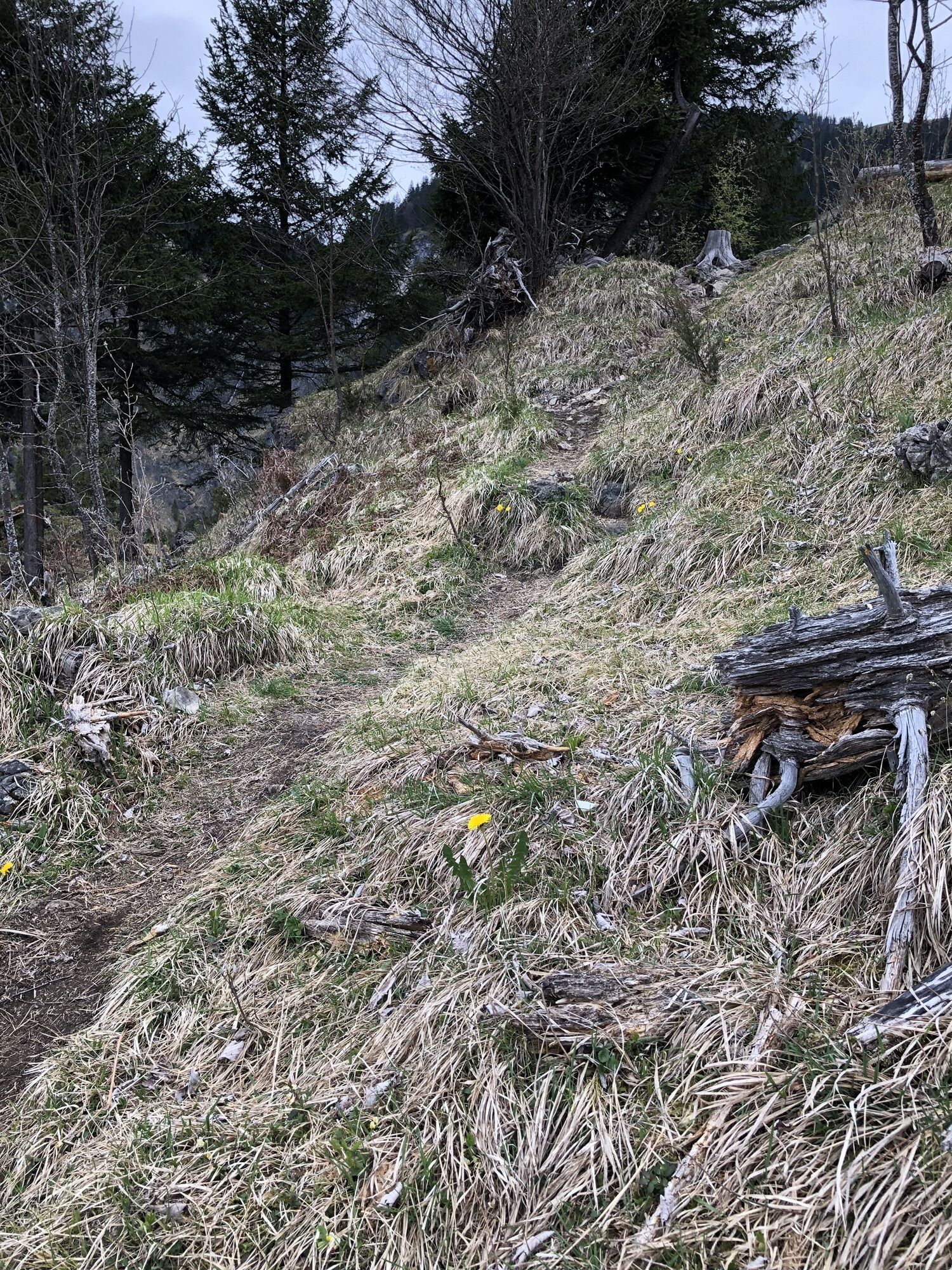
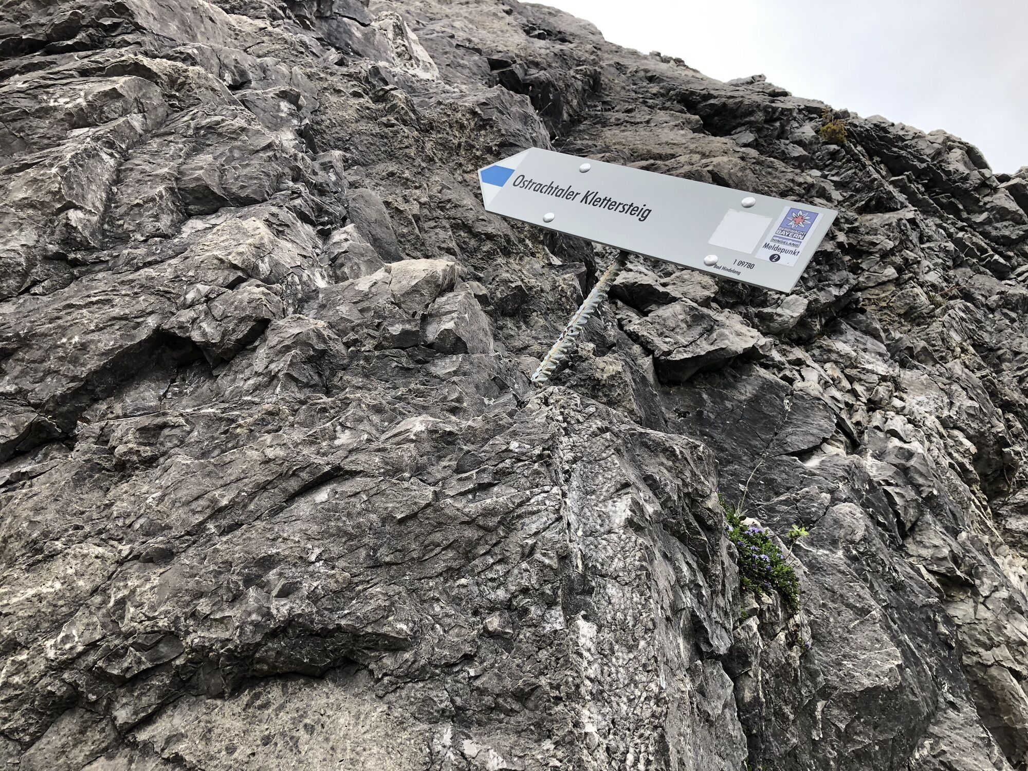
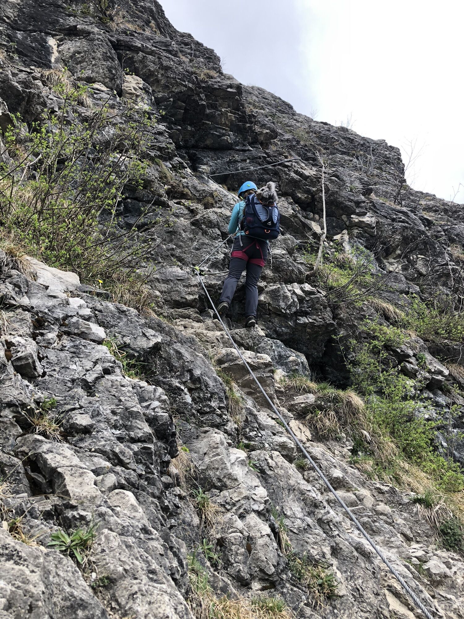
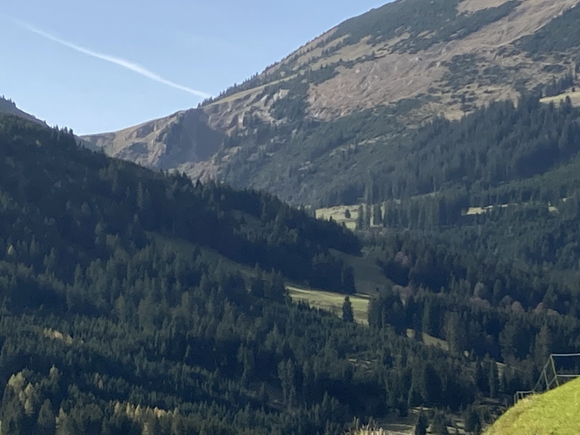
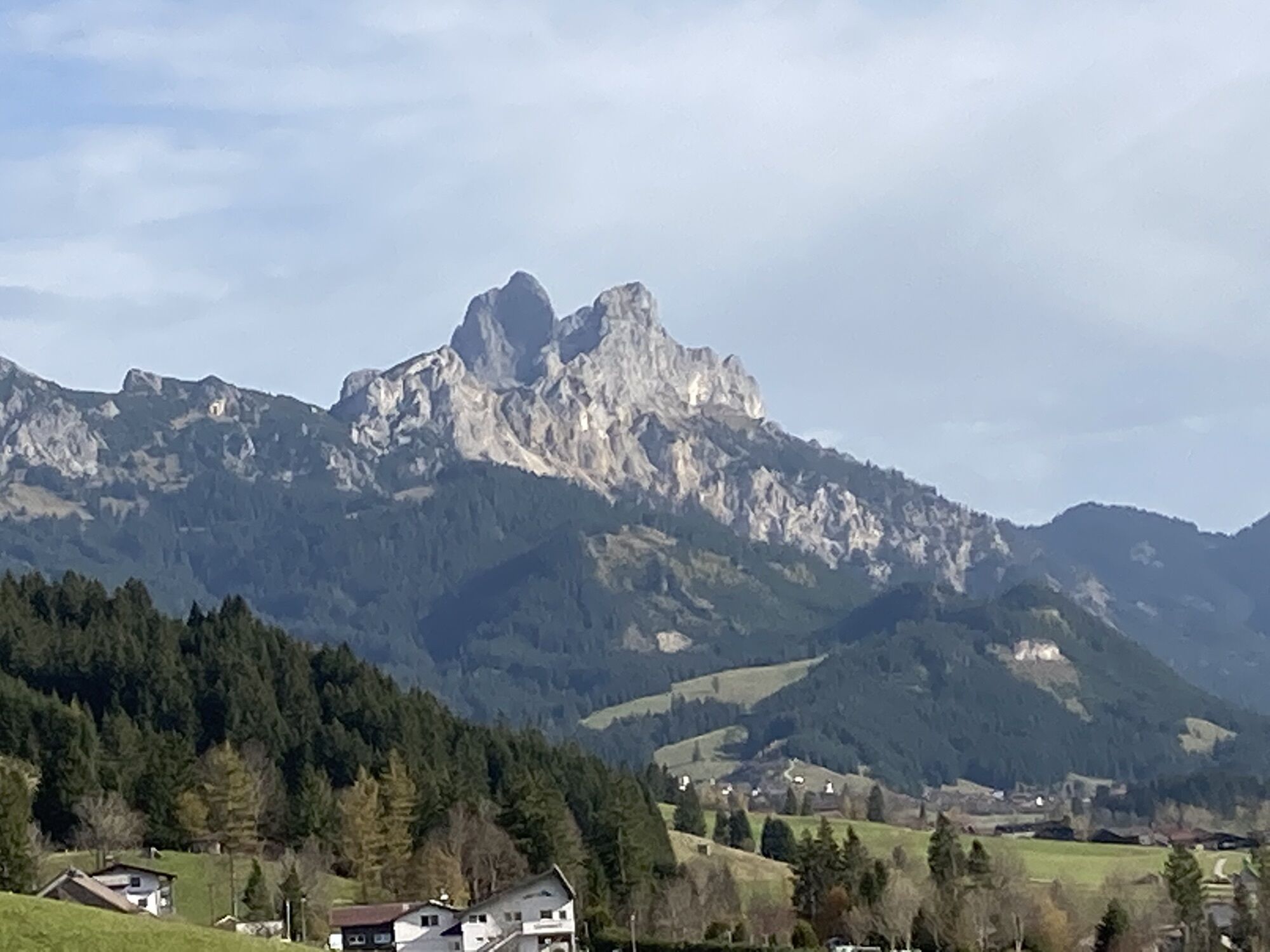
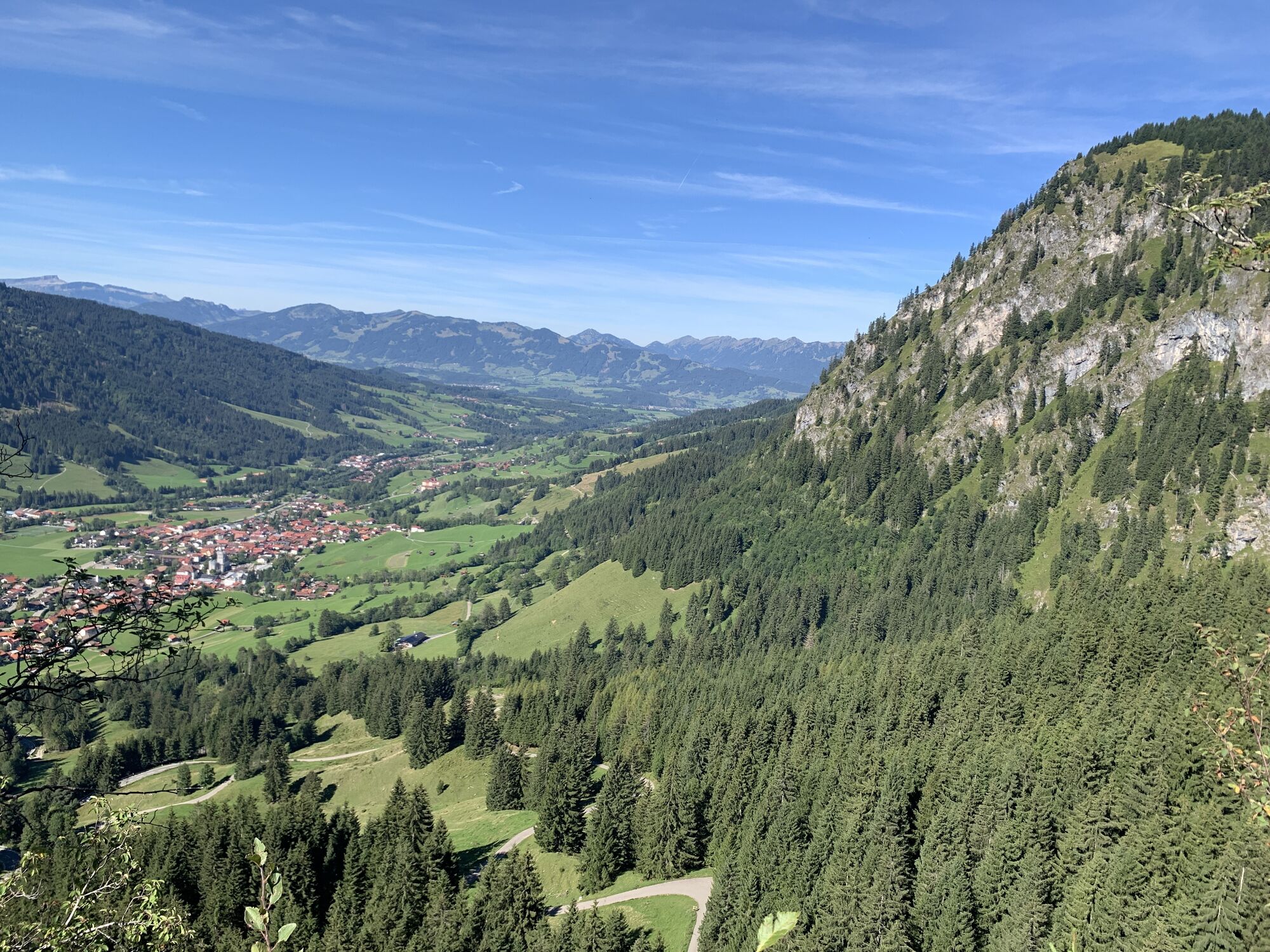
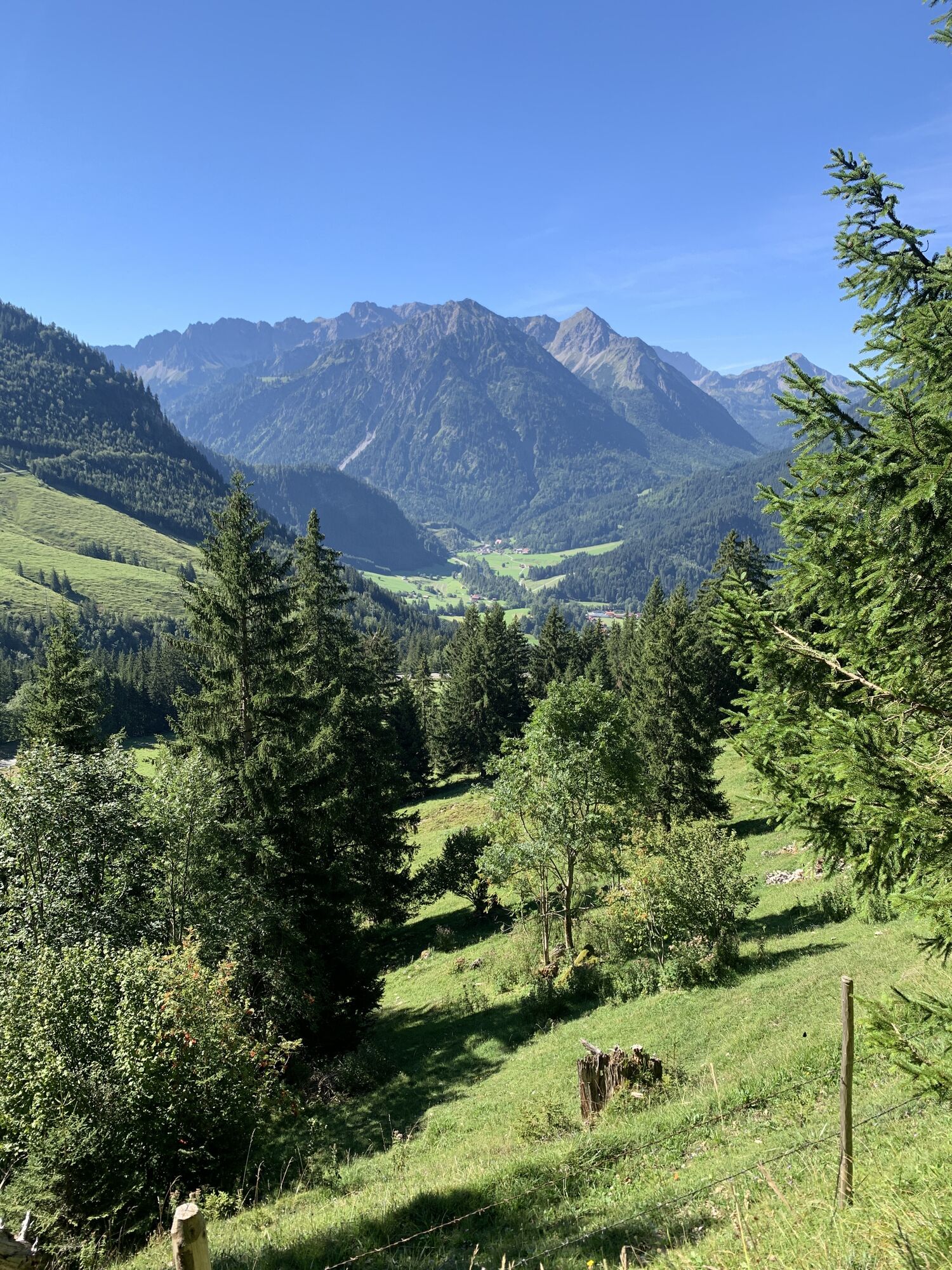
Kuvia käyttäjistämme
The Tannheimer Tal has been known among cyclists for quite some time, because in 2001 the retinue of the Tour of Austria Bicycle Tour went through the valley. In 2005 the cycling pros of the Tour of Bavaria...
The Tannheimer Tal has been known among cyclists for quite some time, because in 2001 the retinue of the Tour of Austria Bicycle Tour went through the valley. In 2005 the cycling pros of the Tour of Bavaria came to Tyrolean soil at the opening stage and were rewarded with the mountain classification Tannheimer Tal and the mountain classification Jungholz. And even professionals noticed the scenic attractions of the "probably most beautiful high valley in Europe". Lush green meadows, the Haldensee and a beautiful mountain scenery accompanied the cycling pros on their competition kilometres. And thus the Tannheimer Tal has also advertised itself as an ideal region for specific training or extended tours. "The Tannheimer Tal is an ideal starting point for long racing bike tours to the surrounding regions such as Lake Constance or the Arlberg", says Michael Keller, managing director of the tourism association Tannheimer Tal and former national mountain bike coach of Austria. Cyclists find in the Tannheimer Tal not only the ideal starting point but also a wide range of accommodation. You can choose your accommodation from a 5-star house to a private room. After a nice ride you can relax and recharge your batteries. - The Tannheimer Tal


Start at the tourist information in Tannheim in western direction to Schattwald. At Schattwald a 1.5 km long ascent begins up to the former customs office Oberjoch. After a short descent, turn right at the crossing to Unterjoch. Continue in the direction of Jungholz, at the Pfeiffermühle mill turn right over an ascent to Jungholz. Follow the road through the village and enjoy the beautiful descent and turn right at the crossroads towards Wertach. Turn right at the traffic light controlled crossing in Wertach. In Reichenbach turn left to Gschwendt and Haslach. After Haslach cross the main road and via Faistenoy to Wertach. In Wertach turn right and via Kranzegg and Rettenberg to Burgberg. Continue to Sonthofen, at the traffic light controlled intersection turn left towards Oberjoch/Reutte, pass through Binswangen, Reckenberg, Vorderhindelang to Bad Hindelang. Here follows the ascent over the Jochpass, with max. 9% gradient, to Oberjoch. In Oberjoch turn right at the crossing and follow the main road to the starting point in Tannheim.
Kyllä
The personal equipment must be safe and serviceable and meet the relevant technical standards. Every racing cyclist is recommended to obtain information about the planned tours from specialist literature or on site. Complete racing bike equipment is strongly recommended, even for experienced cyclists!
The StVO applies. General valid and customary rules of conduct.
It should be noted that in road cycling there is an increased risk of accidents and injuries. Despite careful tour planning, a basic risk always remains. Tour preparation through endurance sports, appropriate training and further education as well as personal prudence reduces the risk of accidents and injuries.
On the motorway A7 at the exit "Oy-Mittelberg" on the B310 towards Wertach and to Oberjoch. There follow the signposting "Tannheimer Tal" B199, exit Tannheim. From the Tyrolean side via Reutte on the B198 towards Lechtal until Weißenbach, over the Gaichtpass along the B199 until exit Tannheim.
By train to Sonthofen, Pfronten/Ried or Reutte, then by bus to Tannheim.
Parking spaces at the Neunerköpfle gondola lift in Tannheim - subject to charges
3
Tourismusverband Tannheimer Tal
Kiertueen webbikamerat
-
Tannheim
-
Zöblen
-
Bad Hindelang/Oberjoch
-
Neunerköpfle Mittelstation
-
Bad Hindelang Kirchturm
-
Weltcup Zielhang
-
Grän - Almdorf Tirol
-
Kinderhotel Oberjoch - Bad Hindelang
-
Kinderhotel Oberjoch - Bad Hindelang
-
Hornbahn Bad Hindelang
-
Hornbahn Bad Hindelang
-
Hornbahn Bad Hindelang
-
Hornbahn Bad Hindelang
-
Talstation Ossi-Reichert Bahn
-
Allgäuhaus Wertach
-
Alpspitzbahn Mittelstation Nesselwang
-
Spieserlifte Unterjoch
-
Grän - Hotel Bergblick
-
Nesselwang - Womo-Stellplatz
-
Oberellegg - Wertach
-
Bad Hindelang - Hotel Prinz-Luitpold-Bad
-
Alpspitzbahn - Sportheim Böck
-
Sonthofen
-
Obere Halde
-
Nesselwang - Alpspitzbahn Talstation
-
Oberjoch, Iselerbahn
-
Petersthal am Rottachsee
-
Petersthal am Rottachsee
-
Bergstation Neunerköpfle
-
Tannheimertal
-
Sonthofen
-
Grünten
-
Grünten
-
Grünten
-
Grünten
-
Grünten
-
Ofterschwang - Allgäuer Berghof
-
Falken-Kamera PRIMAVERA Naturparadies
-
Falken-Kamera PRIMAVERA Naturparadies
-
Blaichach - Gunzesried
Suosittuja retkiä naapurustossa
-
4,2
Three-Lakes-Tour (awarded with the Tyrolean Mountain Path Seal of Quality)
mediumVaellus 14,8 km -
4,6
3-Seen Rundtour Vilsalpsee / Schrecksee / Traualpsee
mediumVaellus 17,1 km -
4,6
Rubihorn
mediumVaellus 9,06 km -
4,4
Wanderung auf den grünten
mediumVaellus 8,31 km -
4,9
3-Gipfel-Tour
mediumVaellus 11,2 km -
4,8
Hindelanger Klettersteig ab Edmund-Probst-Haus + Rückweg
mediumVia ferrata 10,7 km -
4,6
Entschenkopf
raskasVaellus 12,3 km -
3,8
From Tannheim to Sulzspitze
mediumVaellus 15,6 km -
4,7
Unterer Gaisalpsee
mediumKorkea kiertue 8,64 km -
4,5
Starzlachklamm
mediumVaellus 5,30 km
Vaellus & jäljitys


Älä jää paitsi tarjouksista ja inspiraatiosta seuraavaa lomaasi varten.
Sähköpostiosoitteesi on lisätty postituslistalle.